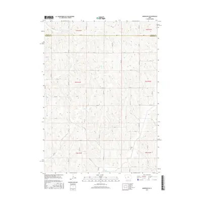
2015 Map of Moorhead SE
USGS Topo · Published 2015About this map
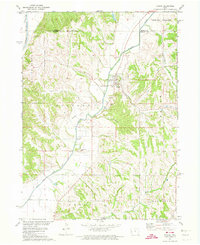
Allen Creek and Willow Creek carve a distinct drainage pattern through this corner of the Loess Hills region along the Monona and Harrison County line. The landscape is defined by a dense network of secondary roads and trails, such as Nash Trail, Osage Trail, and County Road F20L, which provide access to the upland ridges and creek bottoms. This 2015 survey illustrates the enduring agricultural and rural character of the area, where small tributaries like Stowe Creek and Elk Creek have influenced the placement of farmsteads and transport routes. A notable point of interest for local historians is the Hodges Cemetery, situated near the confluence of local drainages in the southeastern quadrant, serving as a quiet marker of the families who settled this part of western Iowa.
Find a feature on this map
59 named features on this map. Tap any name to fly to it.
Don’t see what you’re looking for? This feature index may not catch every label — zoom into the map to look around manually.
Map Details
Editions of this 2015 Moorhead SE Map
This is the sole edition of this map. No revisions or reprints were ever made.
Other maps of this area

1954 · Omaha
USGS Topo · 1:250,000

1957 · Omaha
USGS Topo · 1:250,000

1958 · Omaha
USGS Topo · 1:250,000

1970 · Logan
USGS Topo · 1:24,000
1970 · Missouri Valley NW
USGS Topo · 1:24,000

1971 · Moorhead SE
USGS Topo · 1:24,000

1971 · Dunlap SW
USGS Topo · 1:24,000
1971 · Moorhead
USGS Topo · 1:24,000
1971 · Dunlap NW
USGS Topo · 1:24,000
1971 · Pisgah
USGS Topo · 1:24,000