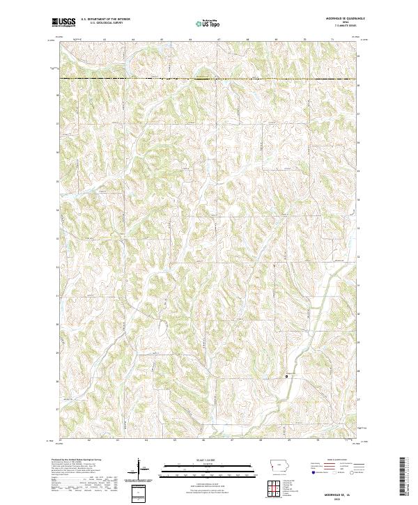
2022 Map of Moorhead SE
USGS Topo · Published 2022About this map
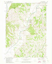
Hodges Cem rests in the southeastern corner of this section of Harrison County, situated on the high ground between Willow Cr and Thompson Cr. The landscape is defined by a dense network of watercourses and ridges, where Allen Cr and its tributaries carve through the terrain. The road network follows a strict sectional grid, with routes like Madrid Ave, Odessa Ave, and 140th St providing access to the agricultural parcels that dominate the region. This survey captures the rural character of western Iowa, where the boundary between Monona Co and Harrison Co is marked by 340th St. Significant drainages such as Steer Cr and Elk Cr illustrate the complex natural drainage patterns that have shaped the development and layout of local farmsteads and transport corridors.
Find a feature on this map
60 named features on this map. Tap any name to fly to it.
Don’t see what you’re looking for? This feature index may not catch every label — zoom into the map to look around manually.
Map Details
Editions of this 2022 Moorhead SE Map
This is the sole edition of this map. No revisions or reprints were ever made.
Other maps of this area

1954 · Omaha
USGS Topo · 1:250,000

1957 · Omaha
USGS Topo · 1:250,000

1958 · Omaha
USGS Topo · 1:250,000

1970 · Logan
USGS Topo · 1:24,000
1970 · Missouri Valley NW
USGS Topo · 1:24,000

1971 · Moorhead SE
USGS Topo · 1:24,000

1971 · Dunlap SW
USGS Topo · 1:24,000
1971 · Moorhead
USGS Topo · 1:24,000
1971 · Dunlap NW
USGS Topo · 1:24,000
1971 · Pisgah
USGS Topo · 1:24,000