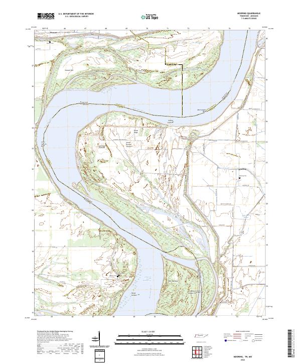
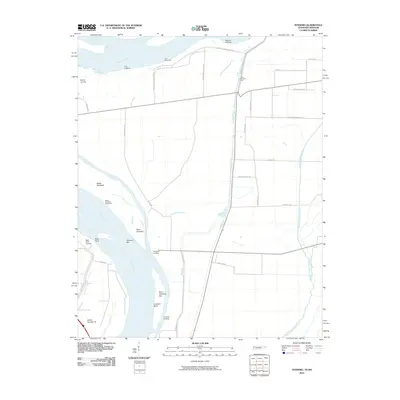
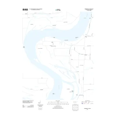
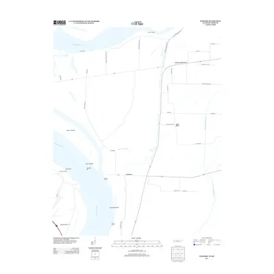
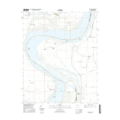
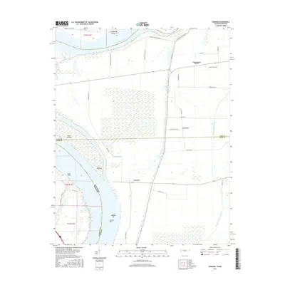
2022 Map of Mooring
USGS Topo · Published 2022About this map
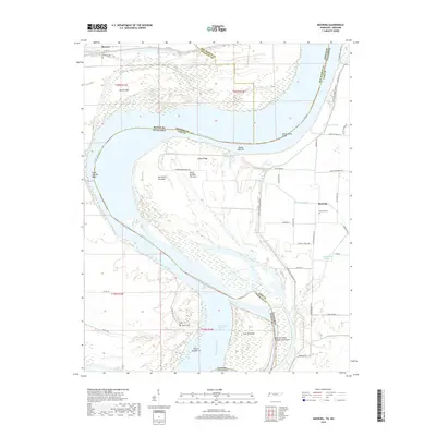
The Mississippi River carves a massive, serpentine path through the borderlands of Tennessee and Missouri, defining the shifting geography of Lake County. This section of the river is characterized by dynamic alluvial features, including the sprawling Island Number Thirteen and the secondary channels of Williams Chute and the Chute of Island Number 14. The landscape is a complex network of towheads and bars, such as Joe Eckles Towhead and Alaska Light Bar, which speak to the river's historical power in shaping the land.
Find a feature on this map
49 named features on this map. Tap any name to fly to it.
Don’t see what you’re looking for? This feature index may not catch every label — zoom into the map to look around manually.
Map Details
Editions of this 2022 Mooring Map
This is the sole edition of this map. No revisions or reprints were ever made.
Historical Maps of Tiptonville Through Time
12 maps found
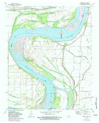
1971 Mooring
Lake County, TN
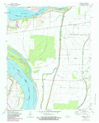
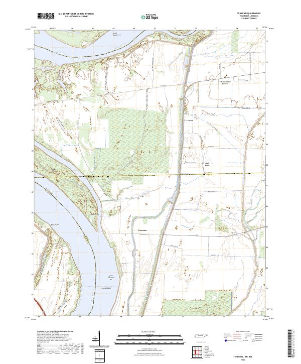
1971 Tennemo
Lake County, TN
2010 Mooring
Lake County, TN
2010 Tennemo
Lake County, TN
2013 Mooring
Lake County, TN
2013 Tennemo
Lake County, TN
2016 Mooring
Lake County, TN
2016 Tennemo
Lake County, TN
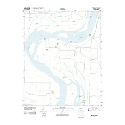
2019 Mooring
Lake County, TN

2019 Tennemo
Lake County, TN
2022 Mooring
Lake County, TN
2022 Tennemo
Lake County, TN