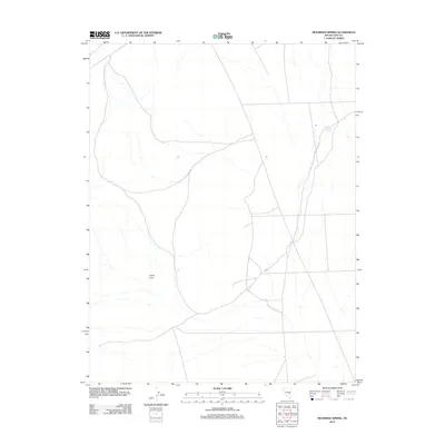
2012 Map of Moorman Spring
USGS Topo · Published 2012About this map
Moorman Spring serves as a vital hydrological point in this arid stretch of Nye County, located near the intersection of various local thoroughfares. The landscape is defined by its subtle topographic shifts, most notably at Lower Cove, where the terrain forms a distinct natural basin. This 2012 survey illustrates the sparse but critical network of local roads and 4WD tracks that provide access to these remote water sources. The map reflects the enduring character of the high desert, where naming conventions are often tied directly to the essential locations of springs and specific landforms that have historically guided travelers and ranchers through this part of the Great Basin.
Find a feature on this map
2 named features on this map. Tap any name to fly to it.
Don’t see what you’re looking for? This feature index may not catch every label — zoom into the map to look around manually.
Map Details
Editions of this 2012 Moorman Spring Map
This is the sole edition of this map. No revisions or reprints were ever made.
Other maps of this area

1956 · Lund
USGS Topo · 1:250,000

1960 · Lund
USGS Topo · 1:250,000

1964 · Currant
USGS Topo · 1:62,500

1964 · Forest Home
USGS Topo · 1:62,500

1969 · Sunnyside
USGS Topo · 1:24,000

1969 · Moorman Spring SE
USGS Topo · 1:24,000

1969 · Sunnyside NW
USGS Topo · 1:24,000

1969 · Moorman Spring NW
USGS Topo · 1:24,000

1969 · Moorman Spring
USGS Topo · 1:24,000

1969 · Moorman Spring NE
USGS Topo · 1:24,000