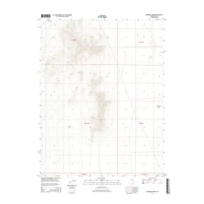
2014 Map of Moorman Spring
USGS Topo · Published 2014About this map
Moorman Spring serves as a vital water source in this arid corner of the Great Basin, situated at the eastern edge of a dramatic upland. The terrain is defined by the stark transition from the high, relief-heavy ridges of The Cove in the northwest down to the broad expanse of the White River Valley. This 2014 survey documents the complex topography of the region, showing how the landscape is segmented into public land survey blocks such as t9n r60e and t8n r61e. The mapping of these townships and ranges provides a clear view of the territorial organization used to manage this sparsely settled Nevada landscape, where natural springs and valley floors dictated the patterns of human movement and land use.
Find a feature on this map
9 named features on this map. Tap any name to fly to it.
Don’t see what you’re looking for? This feature index may not catch every label — zoom into the map to look around manually.
Map Details
Editions of this 2014 Moorman Spring Map
This is the sole edition of this map. No revisions or reprints were ever made.
Other maps of this area

1956 · Lund
USGS Topo · 1:250,000

1960 · Lund
USGS Topo · 1:250,000

1964 · Currant
USGS Topo · 1:62,500

1964 · Forest Home
USGS Topo · 1:62,500

1969 · Sunnyside
USGS Topo · 1:24,000

1969 · Moorman Spring SE
USGS Topo · 1:24,000

1969 · Sunnyside NW
USGS Topo · 1:24,000

1969 · Moorman Spring NW
USGS Topo · 1:24,000

1969 · Moorman Spring
USGS Topo · 1:24,000

1969 · Moorman Spring NE
USGS Topo · 1:24,000