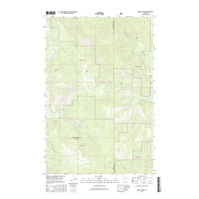
2017 Map of Moose Creek
USGS Topo · Published 2017About this map
Helena National Forest dominates the southern landscape of this Rocky Mountain region, where the high peaks of Black Mtn and Kershaw Mtn overlook a complex network of alpine drainage. The Blackfoot River carves through the central portion of the quadrangle, fed by numerous tributaries including Sauerkraut Cr, Moose Cr, and Wilson Cr. This 2017 survey illustrates the intersection of timberland and early settlement history near the border of Powell and Lewis and Clark Counties.
Find a feature on this map
27 named features on this map. Tap any name to fly to it.
Don’t see what you’re looking for? This feature index may not catch every label — zoom into the map to look around manually.
Map Details
Editions of this 2017 Moose Creek Map
This is the sole edition of this map. No revisions or reprints were ever made.
Other maps of this area

1889 · Helena
USGS Topo · 1:250,000

1893 · Helena
USGS Topo · 1:250,000

1899 · Helena
USGS Topo · 1:250,000

1903 · Coopers Lake
USGS Topo · 1:125,000

1903 · Helena
USGS Topo · 1:250,000

1947 · Butte
USGS Topo · 1:250,000

1955 · Choteau
USGS Topo · 1:250,000

1957 · Choteau
USGS Topo · 1:250,000

1958 · Butte
USGS Topo · 1:250,000

1958 · Choteau
USGS Topo · 1:250,000