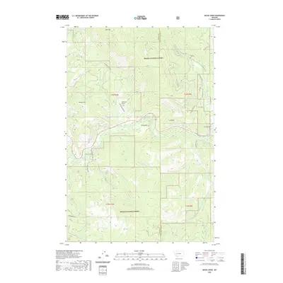
2020 Map of Moose Creek
USGS Topo · Published 2020About this map
Patterson Prairie and the surrounding drainages of the Helena National Forest define this 2020 landscape on the border of Powell and Lewis and Clark counties. The terrain is a network of water management and natural flows, featuring the Lincoln Ditch 1 which cuts across the northern slopes above Lincoln Gulch. The Blackfoot River moves through the central corridor, fed by numerous tributaries including Sauerkraut Cr, Little Moose Cr, and Moose Cr.
Find a feature on this map
29 named features on this map. Tap any name to fly to it.
Don’t see what you’re looking for? This feature index may not catch every label — zoom into the map to look around manually.
Map Details
Editions of this 2020 Moose Creek Map
This is the sole edition of this map. No revisions or reprints were ever made.
Other maps of this area

1889 · Helena
USGS Topo · 1:250,000

1893 · Helena
USGS Topo · 1:250,000

1899 · Helena
USGS Topo · 1:250,000

1903 · Coopers Lake
USGS Topo · 1:125,000

1903 · Helena
USGS Topo · 1:250,000

1947 · Butte
USGS Topo · 1:250,000

1955 · Choteau
USGS Topo · 1:250,000

1957 · Choteau
USGS Topo · 1:250,000

1958 · Butte
USGS Topo · 1:250,000

1958 · Choteau
USGS Topo · 1:250,000