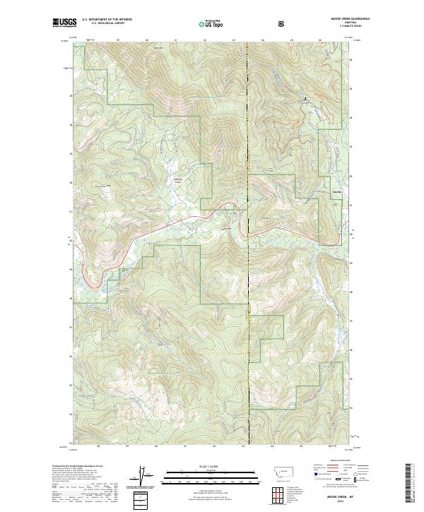
2024 Map of Moose Creek
USGS Topo · Published 2024About this map
Helena National Forest dominates this section of the Continental Divide region, where the Blackfoot River carves through the timbered highlands of Powell County and Lewis and Clark County. The small settlement of Lincoln serves as the primary hub in the eastern portion of the map, situated near the confluence of local drainages and historic travel routes. This area is defined by its deep canyons and named summits, including Black Mtn and Kershaw Mtn, which overlook a network of forest roads and trails.
Find a feature on this map
32 named features on this map. Tap any name to fly to it.
Don’t see what you’re looking for? This feature index may not catch every label — zoom into the map to look around manually.
Map Details
Editions of this 2024 Moose Creek Map
This is the sole edition of this map. No revisions or reprints were ever made.
Other maps of this area

1889 · Helena
USGS Topo · 1:250,000

1893 · Helena
USGS Topo · 1:250,000

1899 · Helena
USGS Topo · 1:250,000

1903 · Coopers Lake
USGS Topo · 1:125,000

1903 · Helena
USGS Topo · 1:250,000

1947 · Butte
USGS Topo · 1:250,000

1955 · Choteau
USGS Topo · 1:250,000

1957 · Choteau
USGS Topo · 1:250,000

1958 · Butte
USGS Topo · 1:250,000

1958 · Choteau
USGS Topo · 1:250,000