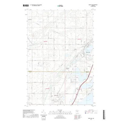
2019 Map of Moose Lake
USGS Topo · Published 2019About this map
Moose Lake and the northern reaches of Sturgeon Lake anchor this 2019 survey, where the glacial landscape of Carlton and Pine counties is defined by a dense network of water bodies and wetlands. The community of Moose Lake serves as a central hub, situated along the shores of Moosehead Lake and the winding Moose Horn River. Just to the west, the Moose Lake Carlton County Airport sits near the crossing of an Abandoned RR, hinting at the region's transition from a rail-dependent timber and transport corridor to one focused on recreational trails like the Soo Line Trl. Genealogists will find significant local records preserved across several burial sites, including Riverside Cem, Blomskog Cem, and the parish grounds of Saint Isidores Cem. The western portion of the map is dominated by the Kettle River drainage and the protected lands of the State Wildlife Area, illustrating the persistent wild character of this north-central Minnesota terrain.
Find a feature on this map
72 named features on this map. Tap any name to fly to it.
Don’t see what you’re looking for? This feature index may not catch every label — zoom into the map to look around manually.
Map Details
Editions of this 2019 Moose Lake Map
This is the sole edition of this map. No revisions or reprints were ever made.
Other maps of this area

1953 · Duluth
USGS Topo · 1:250,000

1956 · Barnum
USGS Topo · 1:62,500

1958 · Duluth
USGS Topo · 1:250,000

1961 · Cromwell
USGS Topo · 1:62,500

1961 · Moose Lake
USGS Topo · 1:62,500

1962 · Bruno
USGS Topo · 1:62,500

1980 · Sandstone
USGS Topo · 1:100,000

1980 · Duluth
USGS Topo · 1:100,000

1981 · Willow River
USGS Topo · 1:24,000

1981 · Kettle River
USGS Topo · 1:24,000
Featured Places
- Moose Lake, MN
- Sturgeon Lake, MN
- Kettle River, MN
- Windemere Township, MN
- Hillside Terrace Mobil Home Park, Moose Lake