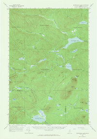
1963 Map of Mooseleuk Lake
USGS Topo · Published 1965About this map
Mooseleuk Lake serves as a central anchor for this remote section of the Maine North Woods, where the borders of Aroostook and Piscataquis counties meet. The landscape is defined by its complex network of waterways, including the Machias River and Big Machias Lake, which historically facilitated the region's timber operations. Private tote roads and logging tracks thread between prominent heights such as Bartlett Mountain and Peaked Mountain, connecting isolated outposts like Shaw Camp and various State Forest Service Camps.
Find a feature on this map
85 named features on this map. Tap any name to fly to it.
Don’t see what you’re looking for? This feature index may not catch every label — zoom into the map to look around manually.
Map Details
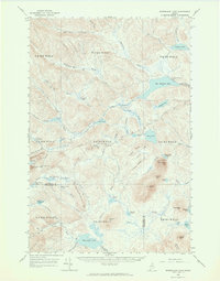
Editions of this 1963 Mooseleuk Lake Map
2 editions found
Other maps of this area

1928 · Winterville
USGS Topo · 1:48,000

1930 · Greenlaw
USGS Topo · 1:48,000

1931 · Fish River Lake
USGS Topo · 1:48,000

1931 · Mooseleuk Lake
USGS Topo · 1:48,000

1931 · Winterville
USGS Topo · 1:62,500

1932 · Musquacook Lakes
USGS Topo · 1:48,000

1932 · Allagash Falls
USGS Topo · 1:48,000

1933 · Greenlaw
USGS Topo · 1:62,500

1935 · Musquacook Lakes
USGS Topo · 1:62,500

1935 · Fish River Lake
USGS Topo · 1:62,500