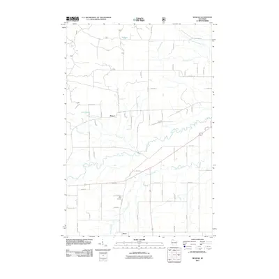
2011 Map of Moquah
USGS Topo · Published 2011About this map
Moquah sits as a central settlement in this northern Wisconsin landscape, where agricultural clearings meet the dense woods of the Chequamegon-Nicolet National Forest. The township is defined by its complex drainage systems, featuring the winding paths of North Fish Creek and South Fish Creek, alongside Whittlesey Creek to the northeast. To the south, the village of Benoit is located near the Saint Peters Cemetery, serving as a landmark for local family historians.
Find a feature on this map
77 named features on this map. Tap any name to fly to it.
Don’t see what you’re looking for? This feature index may not catch every label — zoom into the map to look around manually.
Map Details
Editions of this 2011 Moquah Map
This is the sole edition of this map. No revisions or reprints were ever made.
Other maps of this area

1942 · Ashland
USGS Topo · 1:48,000

1942 · Marengo
USGS Topo · 1:48,000

1944 · Moquah
USGS Topo · 1:48,000

1944 · Grandview
USGS Topo · 1:48,000

1945 · Marengo
USGS Topo · 1:48,000

1947 · Moquah
USGS Topo · 1:48,000

1947 · Ashland
USGS Topo · 1:48,000

1947 · Grandview
USGS Topo · 1:48,000

1953 · Ashland
USGS Topo · 1:250,000

1958 · Ashland
USGS Topo · 1:250,000