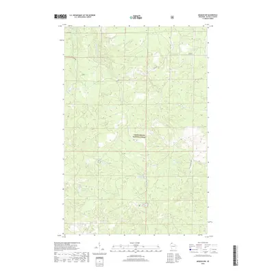
2018 Map of Moquah NW
USGS Topo · Published 2018About this map
The Chequamegon National Forest dominates this northern Wisconsin landscape, characterized by a dense concentration of glacial kettle lakes and wetlands. Water defines the region, with the E Fork Cranberry River and Lenawee Cr draining through complex terrain toward Lake Superior. The map reveals a remote geography where names like Sunken Camp Lake, Hoist Lake, and Cabin Lake suggest a history tied to seasonal logging camps and outdoor recreation. Settlement is sparse, limited primarily to forest service routes and roads like Old Puig Rd and FR 239 Moquah Road. This survey provides a clear look at the intricate hydrography of the Moquah area, featuring numerous small basins such as Rib Lake and Pine Lake that reflect the area's wilderness character in the early 21st century.
Find a feature on this map
14 named features on this map. Tap any name to fly to it.
Don’t see what you’re looking for? This feature index may not catch every label — zoom into the map to look around manually.
Map Details
Editions of this 2018 Moquah NW Map
This is the sole edition of this map. No revisions or reprints were ever made.
Other maps of this area

1943 · Port Wing
USGS Topo · 1:48,000

1943 · Iron Lake
USGS Topo · 1:48,000

1944 · Moquah
USGS Topo · 1:48,000

1944 · Cornucopia
USGS Topo · 1:48,000

1946 · Cornucopia
USGS Topo · 1:48,000

1946 · Port Wing
USGS Topo · 1:48,000

1947 · Moquah
USGS Topo · 1:48,000

1947 · Iron Lake
USGS Topo · 1:48,000

1953 · Ashland
USGS Topo · 1:250,000

1958 · Ashland
USGS Topo · 1:250,000