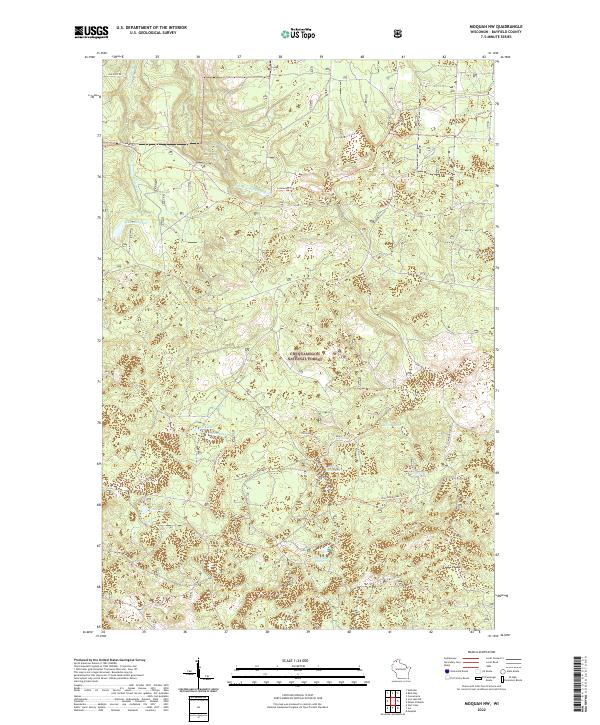
2022 Map of Moquah NW
USGS Topo · Published 2022About this map
Chequamegon National Forest encompasses this entire northern Wisconsin landscape, characterized by its dense network of glacial lakes and forest service trails. The terrain is marked by significant water bodies such as Lake Lenawee in the northwest and Horseshoe Lake to the south. A variety of smaller basins, including Sunken Camp Lake, Moose Lake, and Cabin Lake, are interconnected by seasonal drainage and unnamed forest routes.
Find a feature on this map
18 named features on this map. Tap any name to fly to it.
Don’t see what you’re looking for? This feature index may not catch every label — zoom into the map to look around manually.
Map Details
Editions of this 2022 Moquah NW Map
This is the sole edition of this map. No revisions or reprints were ever made.
Other maps of this area

1943 · Port Wing
USGS Topo · 1:48,000

1943 · Iron Lake
USGS Topo · 1:48,000

1944 · Moquah
USGS Topo · 1:48,000

1944 · Cornucopia
USGS Topo · 1:48,000

1946 · Cornucopia
USGS Topo · 1:48,000

1946 · Port Wing
USGS Topo · 1:48,000

1947 · Moquah
USGS Topo · 1:48,000

1947 · Iron Lake
USGS Topo · 1:48,000

1953 · Ashland
USGS Topo · 1:250,000

1958 · Ashland
USGS Topo · 1:250,000