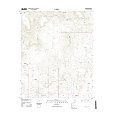
2013 Map of Moquino
USGS Topo · Published 2013About this map
The high mesas and winding arroyos of northern Cibola County define the landscape of this 2013 survey. Settlements are clustered along the drainage systems, with Moquino and Seboyeta positioned along the banks of the Rio Moquino. Further south, the community of Paguate is established near the Rio Paguate, illustrating the historic reliance on seasonal water sources in this arid environment.
Find a feature on this map
23 named features on this map. Tap any name to fly to it.
Don’t see what you’re looking for? This feature index may not catch every label — zoom into the map to look around manually.
Map Details
Editions of this 2013 Moquino Map
This is the sole edition of this map. No revisions or reprints were ever made.
Other maps of this area

1883 · Mt. Taylor
USGS Topo · 1:250,000

1886 · Mt. Taylor
USGS Topo · 1:250,000

1892 · Mt. Taylor
USGS Topo · 1:250,000

1899 · Mt. Taylor
USGS Topo · 1:250,000

1957 · Laguna
USGS Topo · 1:24,000
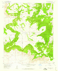
1957 · Mesa Gigante
USGS Topo · 1:24,000

1957 · Moquino
USGS Topo · 1:24,000

1957 · Seboyeta
USGS Topo · 1:24,000

1957 · Mesita
USGS Topo · 1:24,000
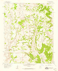
1957 · Arch Mesa
USGS Topo · 1:24,000