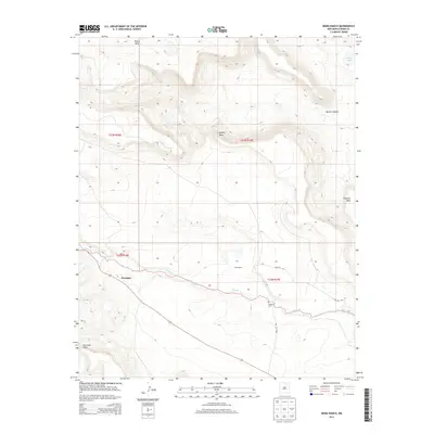
2013 Map of Mora Ranch
USGS Topo · Published 2013About this map
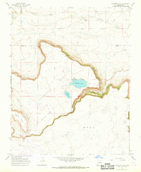
Santa Fe Trl remnants and high mesa terrain define this portion of Mora County in the early 21st century. The landscape is characterized by prominent flat-topped features including Apache Mesa, Rivera Mesa, and Charette Mesa, which overlook the winding course of Ocate Cr. Settlement is sparse, focused around the small community of Naranjos and the historic footprint of Mora Ranch. A notable point of interest for local historians is the Calhoun Cem, situated south of the creek. The presence of the historic trail alignment alongside modern topography illustrates the enduring geography of this high-plains region, where ancient routes follow natural corridors between the mesas and the water at Laguna Yeso.
Find a feature on this map
15 named features on this map. Tap any name to fly to it.
Don’t see what you’re looking for? This feature index may not catch every label — zoom into the map to look around manually.
Map Details
Editions of this 2013 Mora Ranch Map
This is the sole edition of this map. No revisions or reprints were ever made.
Other maps of this area

1954 · Raton
USGS Topo · 1:250,000

1956 · Tooth Of Time
USGS Topo · 1:62,500

1956 · Miami
USGS Topo · 1:62,500

1958 · Raton
USGS Topo · 1:250,000
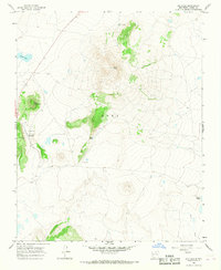
1966 · Ojo Feliz
USGS Topo · 1:24,000

1966 · Mora Ranch
USGS Topo · 1:24,000
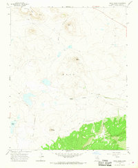
1966 · Cerro Negro
USGS Topo · 1:24,000

1966 · Ocate
USGS Topo · 1:24,000
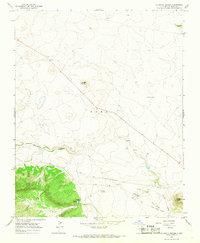
1966 · La Chata Crater
USGS Topo · 1:24,000
1966 · Charette Lake
USGS Topo · 1:24,000