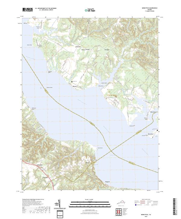
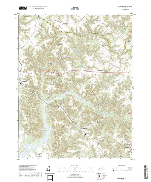
2022 Map of Morattico
USGS Topo · Published 2022About this map
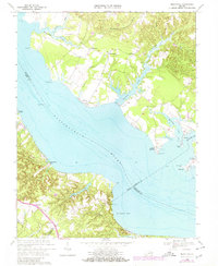
The Rappahannock River dominates this coastal landscape, serving as the physical and political boundary between Richmond, Essex, Middlesex, and Lancaster counties. Small waterfront communities such as Sharps, Morattico, and Simonson are established along the intricate shoreline, defined by numerous points and bays like Tarpley Point and McKans Bay. The interior is characterized by a network of creeks and swamps, including Richardson Creek and Laton Swamp, which influence the local road patterns.
Find a feature on this map
95 named features on this map. Tap any name to fly to it.
Don’t see what you’re looking for? This feature index may not catch every label — zoom into the map to look around manually.
Map Details
Editions of this 2022 Morattico Map
This is the sole edition of this map. No revisions or reprints were ever made.
Historical Maps of Ivondale Through Time
14 maps found

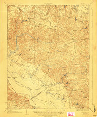
1917 Morattico
Richmond County, VA
1918 Morattico
Richmond County, VA

1926 Morattico
Richmond County, VA

1943 Richmond
Richmond County, VA
1944 Morattico
Richmond County, VA
1947 Haynesville
Richmond County, VA

1949 Richmond
Richmond County, VA

1959 Richmond
Richmond County, VA

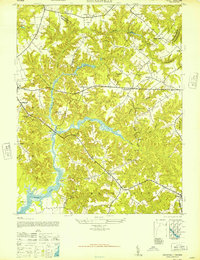
1964 Richmond
Richmond County, VA
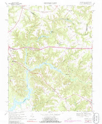
1968 Haynesville
Richmond County, VA
1968 Morattico
Richmond County, VA

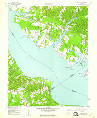
1973 Richmond
Richmond County, VA
2022 Haynesville
Richmond County, VA
2022 Morattico
Richmond County, VA