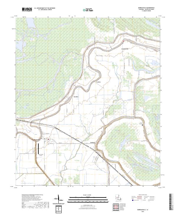
2024 Map of Moreauville
USGS Topo · Published 2024About this map
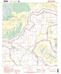
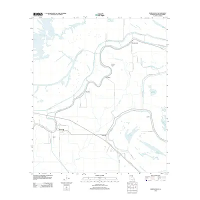
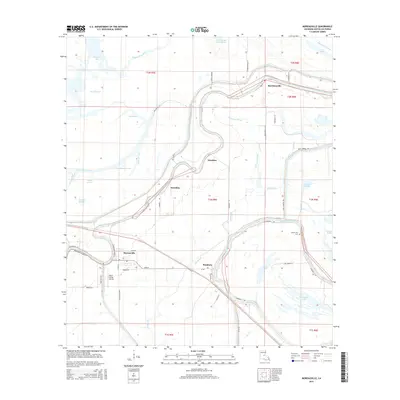
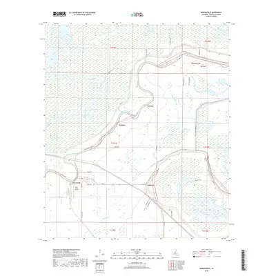
Moreauville and the surrounding Avoyelles Parish landscape are defined by the winding course of Bayou des Glaises and a complex network of waterways. Small settlements like Bordelonville, Hamburg, and Borodino are positioned along the natural levees and roads that navigate the lowland terrain. The map reveals the intricate relationship between human habitation and the wetland environment, with features such as Pomme De Terre Swamp and Coco Lake interspersed with agricultural plots and local infrastructure.
Find a feature on this map
56 named features on this map. Tap any name to fly to it.
Don’t see what you’re looking for? This feature index may not catch every label — zoom into the map to look around manually.
Map Details
Editions of this 2024 Moreauville Map
This is the sole edition of this map. No revisions or reprints were ever made.
Historical Maps of Moreauville Through Time
8 maps found