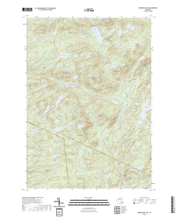
2023 Map of Morehouse Lake
USGS Topo · Published 2023About this map
Oregon stands as the primary named settlement in this high-elevation landscape, situated at the tri-county junction of Hamilton, Herkimer, and Fulton counties. The terrain is defined by a dense network of peaks and water bodies, where ridges like Jerseyfield Mountain and West Creek Mountain overlook a complex system of brooks and "vlys" (marshes). This area is a critical drainage point for the Adirondacks, with the West Branch East Canada Creek and East Canada Creek carving paths through the steep topography.
Find a feature on this map
72 named features on this map. Tap any name to fly to it.
Don’t see what you’re looking for? This feature index may not catch every label — zoom into the map to look around manually.
Map Details
Editions of this 2023 Morehouse Lake Map
This is the sole edition of this map. No revisions or reprints were ever made.
Other maps of this area

1900 · Little Falls
USGS Topo · 1:62,500

1900 · Wilmurt
USGS Topo · 1:62,500

1901 · Lassellsville
USGS Topo · 1:62,500

1902 · Wilmurt
USGS Topo · 1:62,500

1903 · Lassellsville
USGS Topo · 1:62,500

1903 · Little Falls
USGS Topo · 1:62,500

1904 · Piseco Lake
USGS Topo · 1:62,500

1906 · Piseco Lake
USGS Topo · 1:62,500

1908 · Piseco Lake
USGS Topo · 1:62,500

1939 · Little Falls
USGS Topo · 1:62,500