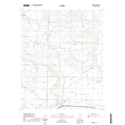
2020 Map of Moreland
USGS Topo · Published 2020About this map
Atkins sits at the southern edge of this landscape, where the terrain begins its ascent into the ridges of northern Pope County. The settlement patterns reflect a rural economy organized around crossroads and natural landmarks, with clusters like Oak Grove and Economy connected by a network of winding roads such as Buttermilk Rd and Saint Joe Rd. The topography is defined by significant elevations, notably Iron Ore Mtn and Carrion Crow Mtn, which overlook the winding paths of Gum Log Cr and Isabell Cr. For genealogists and local historians, the distribution of small burial grounds including Oakland Cem, Saint Joe Cem, and Haskin Cem provides a clear view of the family-centered heritage that persists across these wooded hills. The map captures the interface between the established town of Atkins and the more remote homesteads that follow the contours of the Ozark foothills.
Find a feature on this map
99 named features on this map. Tap any name to fly to it.
Don’t see what you’re looking for? This feature index may not catch every label — zoom into the map to look around manually.
Map Details
Editions of this 2020 Moreland Map
This is the sole edition of this map. No revisions or reprints were ever made.
Other maps of this area

1888 · Dardanelle #4
USGS Topo · 1:62,500

1888 · Dardanelle #1
USGS Topo · 1:62,500

1889 · Morrilton No. 3
USGS Topo · 1:62,500

1890 · Dardanelle
USGS Topo · 1:125,000

1892 · Morrillton
USGS Topo · 1:125,000

1894 · Morrillton
USGS Topo · 1:125,000

1956 · Russellville
USGS Topo · 1:250,000

1961 · Morrilton West
USGS Topo · 1:24,000

1961 · Atkins
USGS Topo · 1:24,000
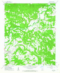
1961 · Dover
USGS Topo · 1:24,000