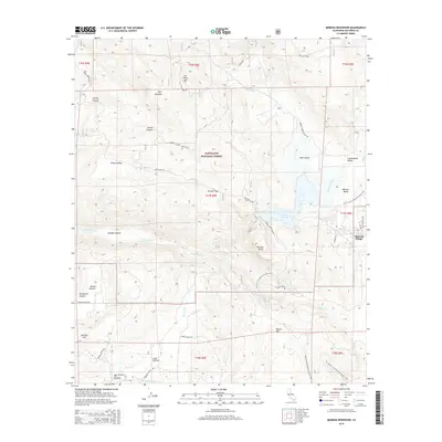
2015 Map of Morena Reservoir
USGS Topo · Published 2015About this map
Cleveland National Forest dominates this landscape, framing a transition between the elevated summits of Los Pinos Mtn and the broad flats of Morena Village. The high-country terrain is defined by numerous seasonal drainage systems, including Cottonwood Cr and Hauser Cr, which feed into the central Morena Reservoir. This water management infrastructure is surrounded by distinct geographic features such as Goat Island and Morena Butte, illustrating the relationship between the natural topography and regional resource development.
Find a feature on this map
50 named features on this map. Tap any name to fly to it.
Don’t see what you’re looking for? This feature index may not catch every label — zoom into the map to look around manually.
Map Details
Editions of this 2015 Morena Reservoir Map
This is the sole edition of this map. No revisions or reprints were ever made.
Other maps of this area

1903 · Cuyamaca
USGS Topo · 1:125,000

1904 · Southern California Sheet No. 2
USGS Topo · 1:250,000

1931 · Carrizo
USGS Topo · 1:125,000

1939 · Campo
USGS Topo · 1:62,500

1942 · Potrero
USGS Topo · 1:48,000

1942 · Campo
USGS Topo · 1:62,500

1942 · Cuyapaipe
USGS Topo · 1:62,500

1942 · Cuyamaca Peak
USGS Topo · 1:62,500

1944 · Potrero
USGS Topo · 1:62,500

1944 · Cuyamaca Peak
USGS Topo · 1:62,500