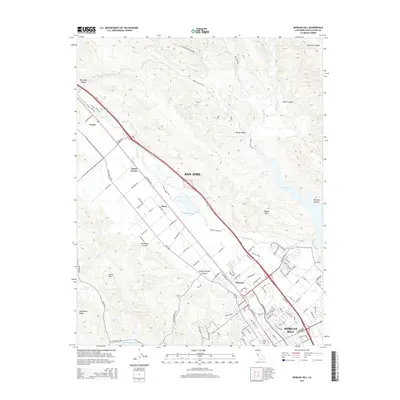
2015 Map of Morgan Hill
USGS Topo · Published 2015About this map
Morgan Hill and the southern reaches of San Jose define the corridor of the Santa Clara Valley shown in this 2015 survey. The landscape is a study in the intersection of urban growth and topographic constraints, as the developed valley floor is pinched between the steep slopes of the Manzanita Ridge to the west and the heights of Henderson Ridge to the east. The drainage of Coyote Creek flows northwest through the center, while the south is dominated by the waters of Anderson Lake and Chesbro Reservoir.
Find a feature on this map
106 named features on this map. Tap any name to fly to it.
Don’t see what you’re looking for? This feature index may not catch every label — zoom into the map to look around manually.
Map Details
Editions of this 2015 Morgan Hill Map
This is the sole edition of this map. No revisions or reprints were ever made.
Other maps of this area

1889 · San Jose
USGS Topo · 1:62,500

1897 · San Jose
USGS Topo · 1:62,500

1897 · Mt. Hamilton
USGS Topo · 1:62,500

1899 · San Jose
USGS Topo · 1:62,500

1916 · New Almaden
USGS Topo · 1:48,000

1917 · Morgan Hill
USGS Topo · 1:62,500

1919 · New Almaden
USGS Topo · 1:62,500

1939 · Morgan Hill
USGS Topo · 1:62,500

1940 · Los Gatos
USGS Topo · 1:62,500

1941 · Morgan Hill
USGS Topo · 1:62,500