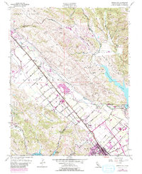
1955 Map of Morgan Hill
USGS Topo · Published 1980About this map
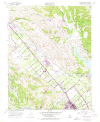
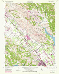
The Santa Clara Valley corridor is prominently defined by the Southern Pacific railroad and the historical Monterey Road, which serve as the spine for early agricultural and industrial development. This 1955 survey, with later revisions, shows the transition from a rural ranching economy toward suburban expansion, centered on the growing community of Morgan Hill. Large water management projects like Anderson Lake and the Chesbro Reservoir stand out as critical infrastructure for the valley's orchards and vineyards. Local education centers such as Encinal School, Burnett Sch, and Llagas School are distributed across the landscape, marking the footprint of historic school districts. From the industrial Gravel Pit operations near Pigeon Point to the Wm F James Boys Ranch, the map captures a diverse range of land uses before the intense urbanization of late-20th-century California.
Find a feature on this map
47 named features on this map. Tap any name to fly to it.
Don’t see what you’re looking for? This feature index may not catch every label — zoom into the map to look around manually.
Map Details
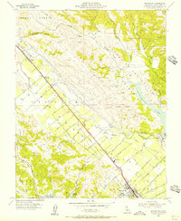
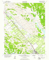
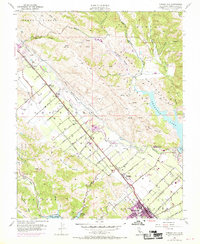
Editions of this 1955 Morgan Hill Map
6 editions found
Other maps of this area

1889 · San Jose
USGS Topo · 1:62,500

1897 · San Jose
USGS Topo · 1:62,500

1897 · Mt. Hamilton
USGS Topo · 1:62,500

1899 · San Jose
USGS Topo · 1:62,500

1916 · New Almaden
USGS Topo · 1:48,000

1917 · Morgan Hill
USGS Topo · 1:62,500

1919 · New Almaden
USGS Topo · 1:62,500

1939 · Morgan Hill
USGS Topo · 1:62,500

1940 · Los Gatos
USGS Topo · 1:62,500

1941 · Morgan Hill
USGS Topo · 1:62,500