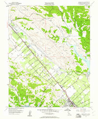
1955 Map of Morgan Hill
USGS Topo · Published 1961About this map
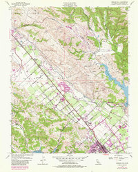
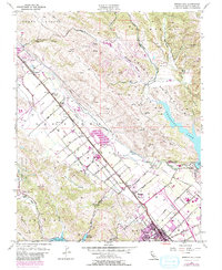
Morgan Hill and the surrounding Santa Clara Valley floor are defined by a rhythmic grid of agricultural avenues and the dominant transit corridor of the Southern Pacific railroad. During the mid-1950s, the landscape transitions from the dense orchards and town lots of the valley to the significant water management systems of Anderson Lake and Chesbro Reservoir. The presence of numerous local institutions, including Encinal School, Burnett Sch, and Walsh Sch, alongside smaller settlements like Madrone and Coyote, illustrates the established rural community structure of the era. To the west, the Pueblo Lands of San Jose boundary marks the transition into more varied terrain such as Metcalfe Canyon and San Bruno Canyon, where land use shifts toward mining and ranching as evidenced by a Gravel Pit and the Wm F James Boys Ranch.
Find a feature on this map
65 named features on this map. Tap any name to fly to it.
Don’t see what you’re looking for? This feature index may not catch every label — zoom into the map to look around manually.
Map Details
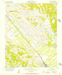
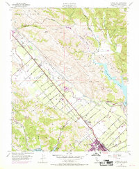
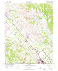
Editions of this 1955 Morgan Hill Map
6 editions found
Other maps of this area

1889 · San Jose
USGS Topo · 1:62,500

1897 · San Jose
USGS Topo · 1:62,500

1897 · Mt. Hamilton
USGS Topo · 1:62,500

1899 · San Jose
USGS Topo · 1:62,500

1916 · New Almaden
USGS Topo · 1:48,000

1917 · Morgan Hill
USGS Topo · 1:62,500

1919 · New Almaden
USGS Topo · 1:62,500

1939 · Morgan Hill
USGS Topo · 1:62,500

1940 · Los Gatos
USGS Topo · 1:62,500

1941 · Morgan Hill
USGS Topo · 1:62,500