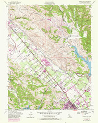
1955 Map of Morgan Hill
USGS Topo · Published 1980About this map
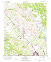
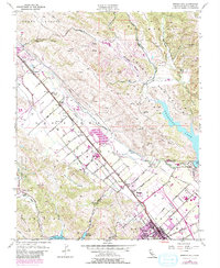
Southern Pacific tracks anchor the valley floor in this mid-century survey of the Santa Clara Valley, running parallel to a grid of agricultural avenues like Orchard Ave and Live Oak Ave. The landscape is a study in transition, where established ranching and orchards around Madrone and Morgan Hill meet the massive water infrastructure of the Anderson Lake and the Chesbro Reservoir. These reservoirs, along with the Abandoned Canal and various Pits, illustrate the intensive water management required for the region's development.
Find a feature on this map
64 named features on this map. Tap any name to fly to it.
Don’t see what you’re looking for? This feature index may not catch every label — zoom into the map to look around manually.
Map Details
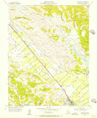
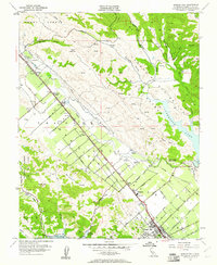
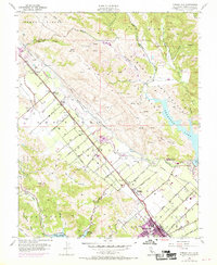
Editions of this 1955 Morgan Hill Map
6 editions found
Other maps of this area

1889 · San Jose
USGS Topo · 1:62,500

1897 · San Jose
USGS Topo · 1:62,500

1897 · Mt. Hamilton
USGS Topo · 1:62,500

1899 · San Jose
USGS Topo · 1:62,500

1916 · New Almaden
USGS Topo · 1:48,000

1917 · Morgan Hill
USGS Topo · 1:62,500

1919 · New Almaden
USGS Topo · 1:62,500

1939 · Morgan Hill
USGS Topo · 1:62,500

1940 · Los Gatos
USGS Topo · 1:62,500

1941 · Morgan Hill
USGS Topo · 1:62,500