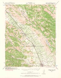
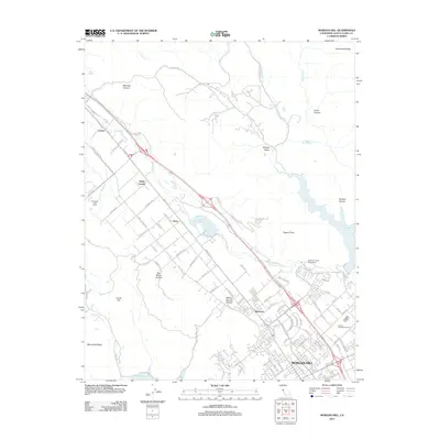
1939 Map of Morgan Hill
USGS Topo · Published 1965About this map
Southern Pacific tracks anchor the Santa Clara Valley in this pre-war survey, tracing a path through a series of agricultural outposts and growing towns. Along this transit corridor, the landscape is dotted with small-scale rural infrastructure, from the Barnett School and Machado School to the Gilroy Waterworks Dam. The map reveals the early footprint of Morgan Hill and Gilroy, where early 20th-century road networks like Watsonville Road and Llagas Avenue were already well established.
Find a feature on this map
99 named features on this map. Tap any name to fly to it.
Don’t see what you’re looking for? This feature index may not catch every label — zoom into the map to look around manually.
Map Details
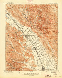
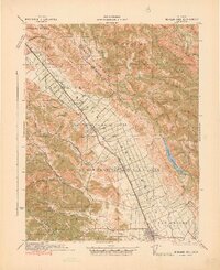
Editions of this 1939 Morgan Hill Map
2 editions found

Historical Maps of San Jose Through Time
8 maps found
1917 Morgan Hill
Santa Clara County, CA
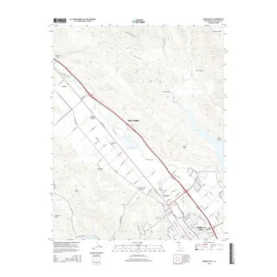
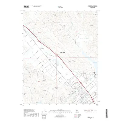
1939 Morgan Hill
Santa Clara County, CA
1941 Morgan Hill
Santa Clara County, CA
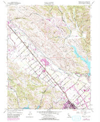
1955 Morgan Hill
Santa Clara County, CA
2012 Morgan Hill
Santa Clara County, CA
2015 Morgan Hill
Santa Clara County, CA
2018 Morgan Hill
Santa Clara County, CA
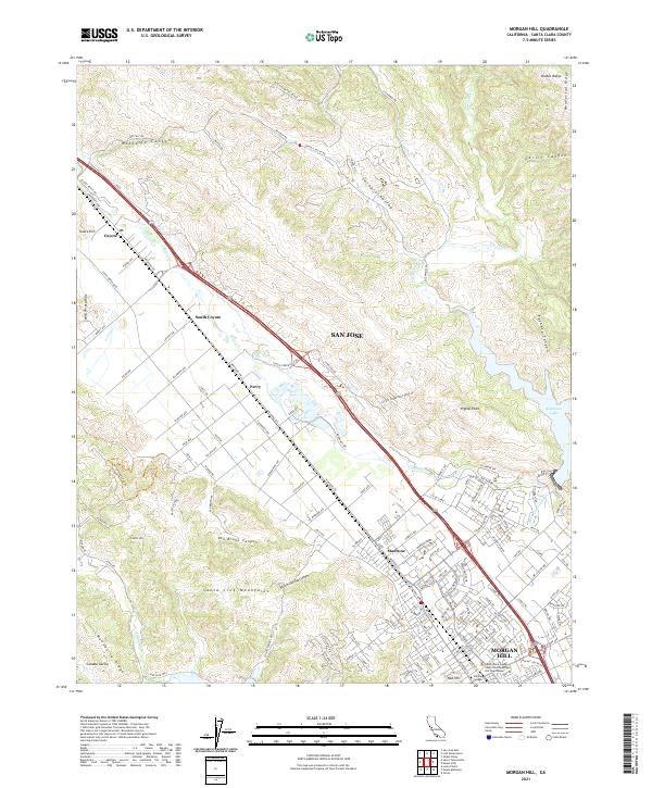
2021 Morgan Hill
Santa Clara County, CA