
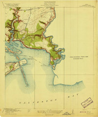
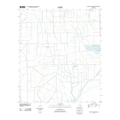
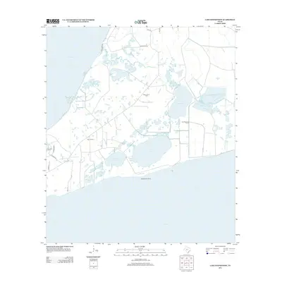
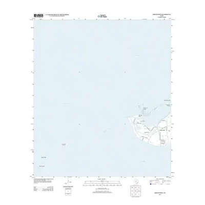
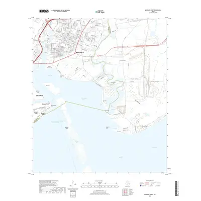
1919 Map of Morgan Point
USGS Topo · Published 1932About this map
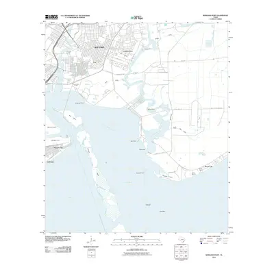
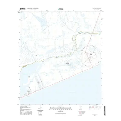
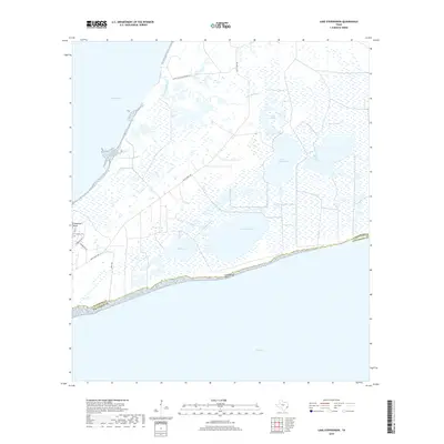
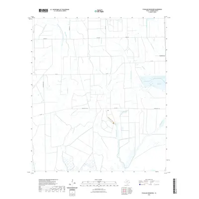
Goose Creek serves as the focal point of this 1916 survey, appearing at a critical moment of coastal development along the northwestern edge of San Jacinto Bay. The settlement patterns show a landscape transitioning from rural crossroads to an industrializing maritime corridor, marked by the Goose Creek School and the Goose Creek Ferry. The topography is defined by intricate inlets and gullies, such as Hull Gully and Pine Gully, which cut through the low-lying terrain before reaching the bay.
Find a feature on this map
31 named features on this map. Tap any name to fly to it.
Don’t see what you’re looking for? This feature index may not catch every label — zoom into the map to look around manually.
Map Details
Editions of this 1919 Morgan Point Map
2 editions found
Historical Maps of Baytown Through Time
86 maps found

1916 Morgan Point
Chambers County, TX
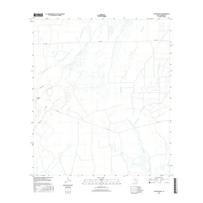
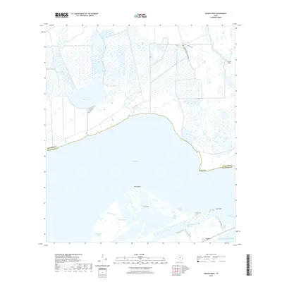
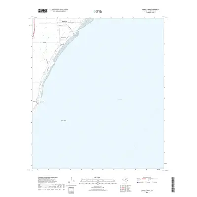
1919 Morgan Point
Chambers County, TX

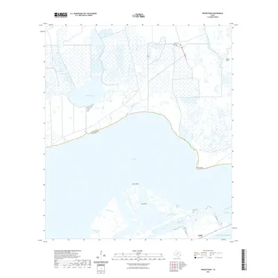
1931 Frozen Point
Chambers County, TX

1931 High Island
Chambers County, TX

1932 Clifton By The Sea
Chambers County, TX

1933 Frozen Point
Chambers County, TX

1933 Smith Point
Chambers County, TX

1933 Whites Lake
Chambers County, TX

1943 Clifton By The Sea
Chambers County, TX

1943 Frozen Point
Chambers County, TX

1943 High Island
Chambers County, TX

1943 Lake Stephenson
Chambers County, TX

1943 Morgan Point
Chambers County, TX

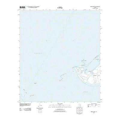
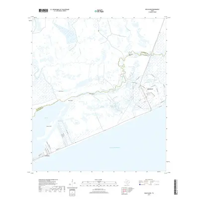
1943 Sea Breeze
Chambers County, TX

1943 Smith Point
Chambers County, TX

1943 West of Eagle
Chambers County, TX

1945 Sea Breeze
Chambers County, TX

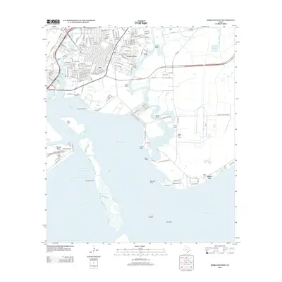
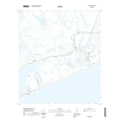
1956 Morgans Point
Chambers County, TX

1961 Lake Stephenson
Chambers County, TX

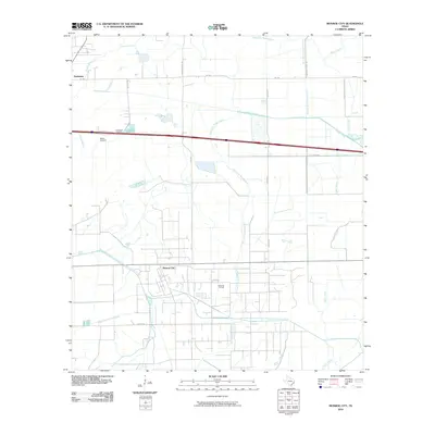
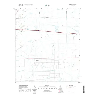
1961 Monroe City
Chambers County, TX

1961 Oyster Bayou
Chambers County, TX

1961 Smith Point
Chambers County, TX

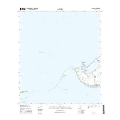
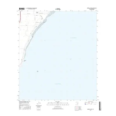
1961 Umbrella Point
Chambers County, TX

1962 Frozen Point
Chambers County, TX

1962 High Island
Chambers County, TX

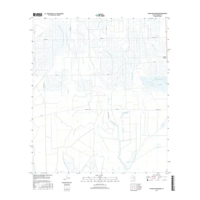
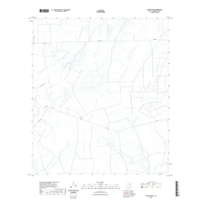
1962 Stanolind Reservoir
Chambers County, TX

1982 Morgans Point
Chambers County, TX

1993 Morgans Point
Chambers County, TX

1993 Smith Point
Chambers County, TX

1994 Frozen Point
Chambers County, TX

1994 High Island
Chambers County, TX

1994 Lake Stephenson
Chambers County, TX

1994 Monroe City
Chambers County, TX

1994 Oyster Bayou
Chambers County, TX

1994 Stanolind Reservoir
Chambers County, TX

1994 Umbrella Point
Chambers County, TX

1995 Morgans Point
Chambers County, TX
2010 Frozen Point
Chambers County, TX
2010 High Island
Chambers County, TX
2010 Lake Stephenson
Chambers County, TX
2010 Monroe City
Chambers County, TX
2010 Morgans Point
Chambers County, TX
2010 Oyster Bayou
Chambers County, TX
2010 Smith Point
Chambers County, TX
2010 Stanolind Reservoir
Chambers County, TX
2010 Umbrella Point
Chambers County, TX
2013 Frozen Point
Chambers County, TX
2013 High Island
Chambers County, TX
2013 Lake Stephenson
Chambers County, TX
2013 Monroe City
Chambers County, TX
2013 Morgans Point
Chambers County, TX
2013 Oyster Bayou
Chambers County, TX
2013 Smith Point
Chambers County, TX
2013 Stanolind Reservoir
Chambers County, TX
2013 Umbrella Point
Chambers County, TX
2016 Frozen Point
Chambers County, TX
2016 High Island
Chambers County, TX
2016 Lake Stephenson
Chambers County, TX
2016 Monroe City
Chambers County, TX
2016 Morgans Point
Chambers County, TX
2016 Oyster Bayou
Chambers County, TX
2016 Smith Point
Chambers County, TX
2016 Stanolind Reservoir
Chambers County, TX
2016 Umbrella Point
Chambers County, TX
2019 Frozen Point
Chambers County, TX
2019 High Island
Chambers County, TX
2019 Lake Stephenson
Chambers County, TX
2019 Monroe City
Chambers County, TX
2019 Morgans Point
Chambers County, TX
2019 Oyster Bayou
Chambers County, TX
2019 Smith Point
Chambers County, TX
2019 Stanolind Reservoir
Chambers County, TX
2019 Umbrella Point
Chambers County, TX
2022 Frozen Point
Chambers County, TX
2022 High Island
Chambers County, TX

2022 Lake Stephenson
Chambers County, TX

2022 Monroe City
Chambers County, TX

2022 Morgans Point
Chambers County, TX
2022 Oyster Bayou
Chambers County, TX

2022 Smith Point
Chambers County, TX
2022 Stanolind Reservoir
Chambers County, TX

2022 Umbrella Point
Chambers County, TX

2025 Frozen Point
Chambers County, TX

2025 High Island
Chambers County, TX

2025 Oyster Bayou
Chambers County, TX

2025 Stanolind Reservoir
Chambers County, TX