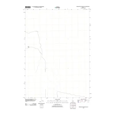
2010 Map of Morgans Pasture NW
USGS Topo · Published 2010About this map
Saint Marys Knoll stands as a prominent elevation in this expanse of Bonneville County, providing a high-ground landmark for those navigating the open terrain. The landscape is primarily defined by its primitive road network, dominated by the winding course of 20 Mile Rock Rd, which snakes through the western portion of the quadrangle. In the southern reaches, Lemhi Rd cuts across the basin, reflecting the sparse infrastructure characteristic of this high desert environment at the start of the 21st century. This USGS survey captures the area just after the first decade of the new millennium, recording the essential geography of a territory where natural landmarks and isolated access roads are the primary features of the land.
Find a feature on this map
3 named features on this map. Tap any name to fly to it.
Don’t see what you’re looking for? This feature index may not catch every label — zoom into the map to look around manually.
Map Details
Editions of this 2010 Morgans Pasture NW Map
This is the sole edition of this map. No revisions or reprints were ever made.
Other maps of this area

1955 · Baldy Knoll
USGS Topo · 1:24,000

1955 · Rose
USGS Topo · 1:24,000

1955 · Idaho Falls
USGS Topo · 1:250,000

1958 · Idaho Falls
USGS Topo · 1:250,000

1964 · Kettle Butte SW
USGS Topo · 1:24,000
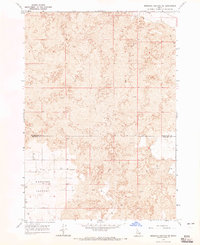
1964 · Morgans Pasture NE
USGS Topo · 1:24,000
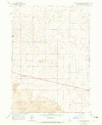
1964 · Butterfly Butte
USGS Topo · 1:24,000

1973 · Olsen
USGS Topo · 1:24,000

1973 · Little Butte
USGS Topo · 1:24,000

1973 · Taber NE
USGS Topo · 1:24,000