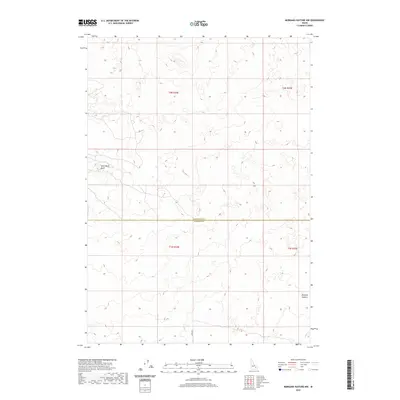
2020 Map of Morgans Pasture NW
USGS Topo · Published 2020About this map
Saint Marys Knoll and Morgans Pasture anchor this expanse of high-desert terrain along the border of Bonneville and Bingham Counties. This landscape is defined by the Public Land Survey System grid, which divides the open land into sections across four townships: t2n r34e, t2n r35e, t1n r34e, and t1n r35e. The scarcity of named landmarks suggests a largely undeveloped rangeland, where topographic contours reveal the subtle rises and depressions of the Idaho sagebrush country. A single marked thoroughfare, Lemhi Rd, provides access into the southern portion of the area, cutting a straight line through the surveyed sections. This map records the modern administrative state of a region where historic land divisions continue to govern the use and navigation of the high plains.
Find a feature on this map
8 named features on this map. Tap any name to fly to it.
Don’t see what you’re looking for? This feature index may not catch every label — zoom into the map to look around manually.
Map Details
Editions of this 2020 Morgans Pasture NW Map
This is the sole edition of this map. No revisions or reprints were ever made.
Other maps of this area

1955 · Baldy Knoll
USGS Topo · 1:24,000

1955 · Rose
USGS Topo · 1:24,000

1955 · Idaho Falls
USGS Topo · 1:250,000

1958 · Idaho Falls
USGS Topo · 1:250,000

1964 · Kettle Butte SW
USGS Topo · 1:24,000
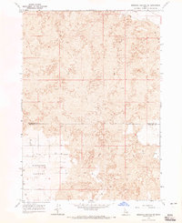
1964 · Morgans Pasture NE
USGS Topo · 1:24,000
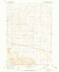
1964 · Butterfly Butte
USGS Topo · 1:24,000

1973 · Olsen
USGS Topo · 1:24,000

1973 · Little Butte
USGS Topo · 1:24,000

1973 · Taber NE
USGS Topo · 1:24,000