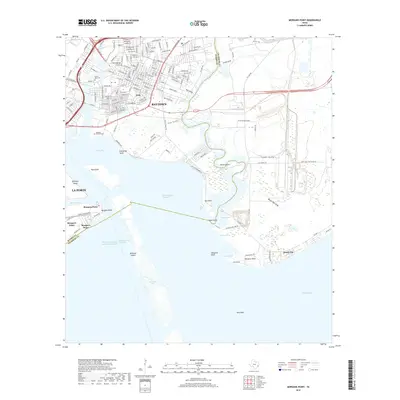
2019 Map of Morgans Point
USGS Topo · Published 2019About this map
The industrial and maritime landscape of the upper Texas coast centers on the confluence of Cedar Bayou and the Houston Ship Channel. In this 2019 survey, the residential grids of Baytown and the legacy neighborhood of Pelly are defined by the winding paths of Hull Gully and Pine Gully as they drain toward Tabbs Bay. This area illustrates the complex balance between dense infrastructure, such as the Barbours Cut container terminal, and the surrounding coastal wetlands. To the south, the map details the narrow peninsula of Morgan's Point and the island chain including Atkinson Island and Spilmans Island, which guard the entrance to Galveston Bay. Genealogists and local historians can locate established burial grounds like Hill of Rest Cem and the Gaillard-Mitchell Cem, while the eastern shore shows the residential development of Beach City overlooking Trinity Bay.
Find a feature on this map
117 named features on this map. Tap any name to fly to it.
Don’t see what you’re looking for? This feature index may not catch every label — zoom into the map to look around manually.
Map Details
Editions of this 2019 Morgans Point Map
This is the sole edition of this map. No revisions or reprints were ever made.
Other maps of this area

1916 · Burnett Bay
USGS Topo · 1:24,000

1916 · Morgan Point
USGS Topo · 1:24,000

1916 · Seabrook
USGS Topo · 1:24,000

1916 · Cedar Bayou
USGS Topo · 1:24,000

1916 · La Porte
USGS Topo · 1:24,000

1919 · Morgan Point
USGS Topo · 1:31,680

1919 · Cedar Bayou
USGS Topo · 1:31,680

1920 · Seabrook
USGS Topo · 1:31,680

1920 · La Porte
USGS Topo · 1:31,680

1920 · Highlands
USGS Topo · 1:31,680