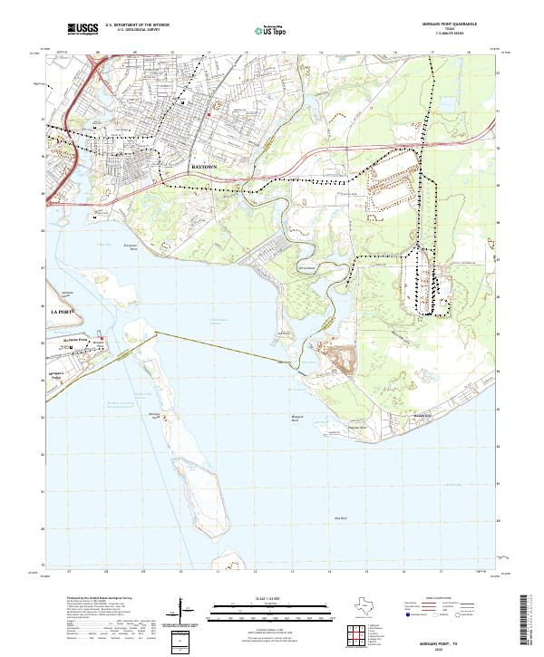
2022 Map of Morgans Point
USGS Topo · Published 2022About this map
Cedar Bayou serves as the dividing line between Harris and Chambers counties as it flows toward the complex industrial and maritime landscape of the upper Texas coast. The shipping industry defines the southern portion of this area, centered on the Houston Ship Channel and the massive dredging and docking operations at Barbours Cut. In contrast to the heavy maritime infrastructure of La Porte and Morgans Point, the northern reaches transition into the residential and academic corridors of Baytown, anchored by Lee College.
Find a feature on this map
65 named features on this map. Tap any name to fly to it.
Don’t see what you’re looking for? This feature index may not catch every label — zoom into the map to look around manually.
Map Details
Editions of this 2022 Morgans Point Map
This is the sole edition of this map. No revisions or reprints were ever made.
Other maps of this area

1916 · Burnett Bay
USGS Topo · 1:24,000

1916 · Morgan Point
USGS Topo · 1:24,000

1916 · Seabrook
USGS Topo · 1:24,000

1916 · Cedar Bayou
USGS Topo · 1:24,000

1916 · La Porte
USGS Topo · 1:24,000

1919 · Morgan Point
USGS Topo · 1:31,680

1919 · Cedar Bayou
USGS Topo · 1:31,680

1920 · Seabrook
USGS Topo · 1:31,680

1920 · La Porte
USGS Topo · 1:31,680

1920 · Highlands
USGS Topo · 1:31,680