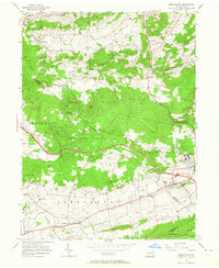
1956 Map of Morgantown
USGS Topo · Published 1964About this map
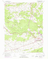
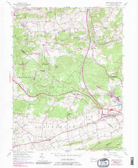
Grace Mine and the industrial remnants of Joanna Furnace stand as prominent landmarks at the intersection of Berks and Chester counties during the mid-1950s. The landscape is defined by the winding path of the Pennsylvania Turnpike, which cuts through the heavy woodlands of State Game Lands No 52 and past Silver Hill. Small agricultural and residential hubs like Morgantown and Churchtown are depicted in detail, showing a network of rural schools including the California Sch and Conestoga Sch that served these scattered communities.
Find a feature on this map
50 named features on this map. Tap any name to fly to it.
Don’t see what you’re looking for? This feature index may not catch every label — zoom into the map to look around manually.
Map Details
Editions of this 1956 Morgantown Map
6 editions found
Other maps of this area

1894 · Reading
USGS Topo · 1:62,500

1902 · Wernersville
USGS Topo · 1:62,500

1905 · Honey Brook
USGS Topo · 1:62,500

1906 · New Holland
USGS Topo · 1:62,500

1907 · Honeybrook
USGS Topo · 1:62,500

1908 · New Holland
USGS Topo · 1:62,500

1913 · Reading
USGS Topo · 1:62,500

1915 · Reading
USGS Topo · 1:62,500

1941 · Honeybrook
USGS Topo · 1:62,500

1941 · New Holland
USGS Topo · 1:62,500
Featured Places
- East Earl Township, PA
- New Morgan, PA
- Plowville, Robeson Township
- Brecknock Township, PA
- Cumru Township, PA