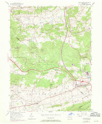
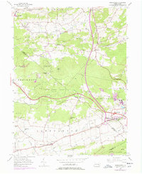
1956 Map of Morgantown
USGS Topo · Published 1971About this map
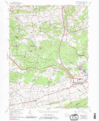
Joanna Furnace and the industrial activity at Grace Mine anchor the landscape where Berks and Lancaster counties meet. This survey captures a rural Pennsylvania corridor undergoing significant transportation shifts, dominated by the Pennsylvania Turnpike and its Interchange 22 near Morgantown. The terrain is characterized by the wooded heights of Welsh Mtn and Turkey Hill, with established community life centered around numerous country churches and cemeteries, such as Wenger Ch and the Caernarvon Cem. Small settlements like Alleghenyville and Churchtown maintain their traditional footprints amidst the winding paths of Conestoga Creek and the Horseshoe Trail, while newer educational facilities like Twin Valley High Sch reflect mid-century local development.
Find a feature on this map
65 named features on this map. Tap any name to fly to it.
Don’t see what you’re looking for? This feature index may not catch every label — zoom into the map to look around manually.
Map Details
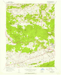
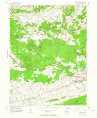
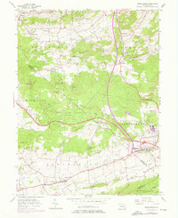
Editions of this 1956 Morgantown Map
6 editions found
Other maps of this area

1894 · Reading
USGS Topo · 1:62,500

1902 · Wernersville
USGS Topo · 1:62,500

1905 · Honey Brook
USGS Topo · 1:62,500

1906 · New Holland
USGS Topo · 1:62,500

1907 · Honeybrook
USGS Topo · 1:62,500

1908 · New Holland
USGS Topo · 1:62,500

1913 · Reading
USGS Topo · 1:62,500

1915 · Reading
USGS Topo · 1:62,500

1941 · Honeybrook
USGS Topo · 1:62,500

1941 · New Holland
USGS Topo · 1:62,500
Featured Places
- East Earl Township, PA
- New Morgan, PA
- Plowville, Robeson Township
- Brecknock Township, PA
- Cumru Township, PA