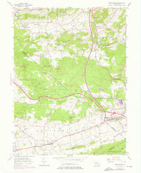
1956 Map of Morgantown
USGS Topo · Published 1976About this map
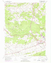
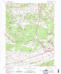
The historic Joanna Furnace stands as a prominent landmark in this region of Berks and Lancaster Counties, illustrating the area's deep-rooted industrial heritage. Near the boundary of Caernarvon and Robeson, the landscape is defined by the transition from rural agricultural land to industrial sites like the Grace Mine. The settlement of Morgantown serves as a central hub, where the Pennsylvania Turnpike cuts through the terrain, intersecting local life near the Twin Valley High Sch.
Find a feature on this map
47 named features on this map. Tap any name to fly to it.
Don’t see what you’re looking for? This feature index may not catch every label — zoom into the map to look around manually.
Map Details
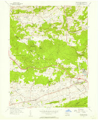
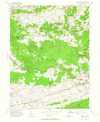
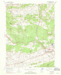
Editions of this 1956 Morgantown Map
6 editions found
Other maps of this area

1894 · Reading
USGS Topo · 1:62,500

1902 · Wernersville
USGS Topo · 1:62,500

1905 · Honey Brook
USGS Topo · 1:62,500

1906 · New Holland
USGS Topo · 1:62,500

1907 · Honeybrook
USGS Topo · 1:62,500

1908 · New Holland
USGS Topo · 1:62,500

1913 · Reading
USGS Topo · 1:62,500

1915 · Reading
USGS Topo · 1:62,500

1941 · Honeybrook
USGS Topo · 1:62,500

1941 · New Holland
USGS Topo · 1:62,500
Featured Places
- East Earl Township, PA
- New Morgan, PA
- Plowville, Robeson Township
- Brecknock Township, PA
- Cumru Township, PA