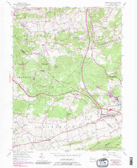
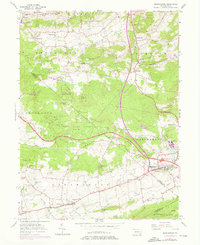
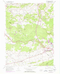
1956 Map of Morgantown
USGS Topo · Published 1989About this map
The Pennsylvania Turnpike cuts through this landscape of the Pennsylvania Dutch country, creating a sharp modern divide between the historic iron-making sites and agricultural hamlets. Near the eastern edge, Joanna Furnace and the industrial activity at Grace Mine reflect the region's deep ties to mineral extraction and metallurgy. The map reveals a high concentration of community centers including the California School, Emmanuel Church, and Harmony Church, which serve the small settlements of Morgantown and Churchtown.
Find a feature on this map
57 named features on this map. Tap any name to fly to it.
Don’t see what you’re looking for? This feature index may not catch every label — zoom into the map to look around manually.
Map Details
Editions of this 1956 Morgantown Map
6 editions found
Other maps of this area

1894 · Reading
USGS Topo · 1:62,500

1902 · Wernersville
USGS Topo · 1:62,500

1905 · Honey Brook
USGS Topo · 1:62,500

1906 · New Holland
USGS Topo · 1:62,500

1907 · Honeybrook
USGS Topo · 1:62,500

1908 · New Holland
USGS Topo · 1:62,500

1913 · Reading
USGS Topo · 1:62,500

1915 · Reading
USGS Topo · 1:62,500

1941 · Honeybrook
USGS Topo · 1:62,500

1941 · New Holland
USGS Topo · 1:62,500
Featured Places
- East Earl Township, PA
- New Morgan, PA
- Plowville, Robeson Township
- Brecknock Township, PA
- Cumru Township, PA