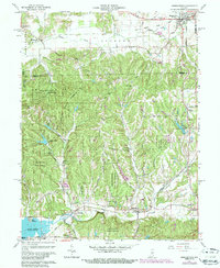
1961 Map of Morgantown
USGS Topo · Published 1987About this map
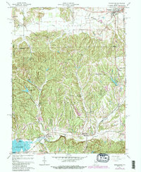
Morgantown and the surrounding woodlands of the Yellowwood State Forest define this 1961 landscape in Morgan and Brown counties. The southern reaches of the map highlight the engineering of Lake Lemon, where the Point Idalawn community sits near the water's edge. This era is characterized by the presence of the Illinois Central Railroad, which winds through the southern terrain near Helmsburg and Trevlac, following the path of Beanblossom Creek.
Find a feature on this map
54 named features on this map. Tap any name to fly to it.
Don’t see what you’re looking for? This feature index may not catch every label — zoom into the map to look around manually.
Map Details
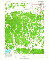
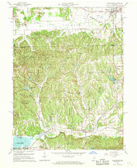
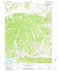
Editions of this 1961 Morgantown Map
5 editions found
Other maps of this area

1942 · Franklin
USGS Topo · 1:125,000

1946 · Belmont
USGS Topo · 1:24,000

1947 · Unionville
USGS Topo · 1:24,000

1947 · Nashville
USGS Topo · 1:24,000

1947 · Franklin
USGS Topo · 1:62,500

1948 · Trafalgar
USGS Topo · 1:24,000

1948 · Hindustan
USGS Topo · 1:24,000

1948 · Fruitdale
USGS Topo · 1:24,000

1948 · Morgantown
USGS Topo · 1:24,000

1949 · Nashville
USGS Topo · 1:24,000