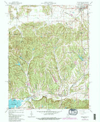
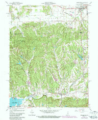
1961 Map of Morgantown
USGS Topo · Published 1987About this map
Morgantown stands at the northern edge of this terrain where the rolling hills of the Yellowwood State Forest begin to dominate the landscape. The map captures a transitional geography, moving from the flatter agricultural sections near Mahalasville and the Old RR Grade into the deeply incised valleys of the south. This area is characterized by a network of creek-side settlements like Helmsburg and Beanblossom, which follow the winding path of Beanblossom Creek.
Find a feature on this map
60 named features on this map. Tap any name to fly to it.
Don’t see what you’re looking for? This feature index may not catch every label — zoom into the map to look around manually.
Map Details
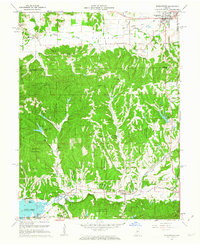
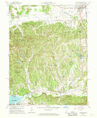
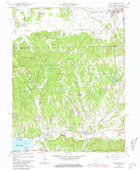
Editions of this 1961 Morgantown Map
5 editions found
Other maps of this area

1942 · Franklin
USGS Topo · 1:125,000

1946 · Belmont
USGS Topo · 1:24,000

1947 · Unionville
USGS Topo · 1:24,000

1947 · Nashville
USGS Topo · 1:24,000

1947 · Franklin
USGS Topo · 1:62,500

1948 · Trafalgar
USGS Topo · 1:24,000

1948 · Hindustan
USGS Topo · 1:24,000

1948 · Fruitdale
USGS Topo · 1:24,000

1948 · Morgantown
USGS Topo · 1:24,000

1949 · Nashville
USGS Topo · 1:24,000