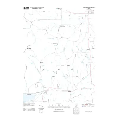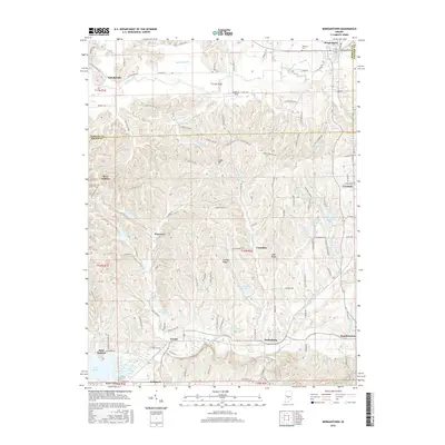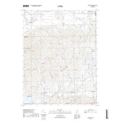
1961 Map of Morgantown
USGS Topo · Published 1963About this map
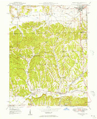
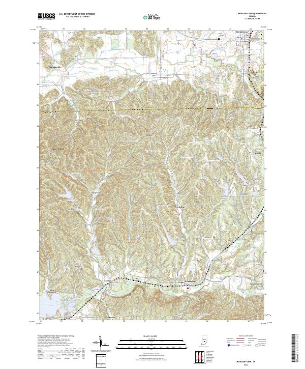
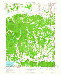
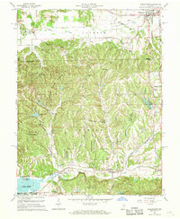
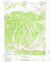
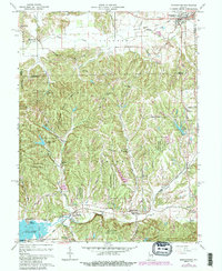
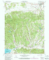
Yellowwood State Forest dominates the central landscape of this 1961 revision, where the dense woodlands of Brown and Morgan counties meet. The southern portion of the map is defined by the Illinois Central Railroad corridor, which connects the small settlements of Helmsburg, Trevlac, and Needmore as it follows the path of Bean Blossom creek. Near the Morgan county line, the village of Morgantown serves as a local hub, while smaller hamlets like Mahalasville and Fruitdale dot the northern and eastern reaches. The inclusion of Lake Lemon and the Point Idalawn area in the southwest corner reflects the mid-century development of recreational water bodies in the region. Genealogists will find significant value in the documentation of rural landmarks, including the Mt Pleasant Ch, Mt Zion Ch, and the isolated Williams Cem, providing a clear record of the community's spiritual and social geography.
Find a feature on this map
50 named features on this map. Tap any name to fly to it.
Don’t see what you’re looking for? This feature index may not catch every label — zoom into the map to look around manually.
Map Details
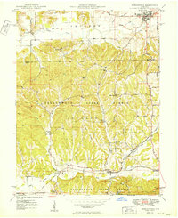
Editions of this 1961 Morgantown Map
5 editions found
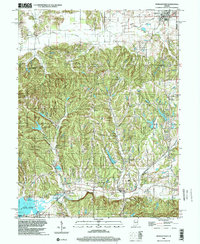
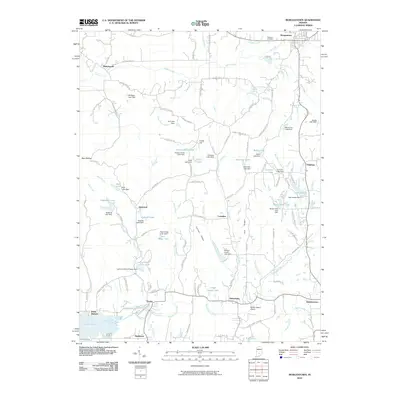
Historical Maps of Morgantown Through Time
9 maps found