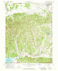
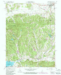
1961 Map of Morgantown
USGS Topo · Published 1968About this map
Yellowwood State Forest dominates the central and southern portions of this landscape, where the deeply dissected ridges and valleys of Brown County meet the northern farmlands. The Illinois Central Railroad cuts across the southern reach, following the course of Beanblossom Creek, connecting the small communities of Helmsburg, Trevlac, and Beanblossom. This corridor reveals a distinct transition in land use, from the managed timberlands of the state forest and the Hoosier National Forest boundary to the concentrated village center of Morgantown in the northeast.
Find a feature on this map
64 named features on this map. Tap any name to fly to it.
Don’t see what you’re looking for? This feature index may not catch every label — zoom into the map to look around manually.
Map Details
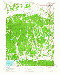
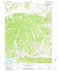
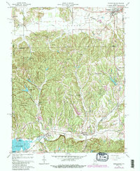
Editions of this 1961 Morgantown Map
5 editions found
Other maps of this area

1942 · Franklin
USGS Topo · 1:125,000

1946 · Belmont
USGS Topo · 1:24,000

1947 · Unionville
USGS Topo · 1:24,000

1947 · Nashville
USGS Topo · 1:24,000

1947 · Franklin
USGS Topo · 1:62,500

1948 · Trafalgar
USGS Topo · 1:24,000

1948 · Hindustan
USGS Topo · 1:24,000

1948 · Fruitdale
USGS Topo · 1:24,000

1948 · Morgantown
USGS Topo · 1:24,000

1949 · Nashville
USGS Topo · 1:24,000