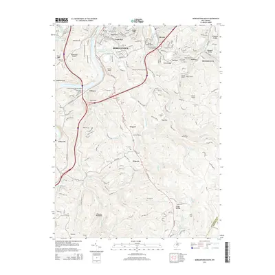
2014 Map of Morgantown South
USGS Topo · Published 2014About this map
The Monongahela River carves a deep valley through this industrial and residential landscape south of Morgantown. The map documents a complex network of neighborhoods like South Park and Hopecrest, alongside older rural communities such as Uffington and Little Falls. A significant historical landmark is the Clinton Furnace, located near the southern edge of the sheet, providing a link to the region's early iron industry. The topography is defined by prominent elevations like Dorsey Knob and Raven Rock, with the rugged eastern portion of the map transitioning into the higher ground of Beulah Hollow. Numerous family and community burial grounds, including Lawnwood Cem and the McBee Cem, are scattered throughout the hills, while the Morgantown Water Supply Lake serves as a major hydrological feature just west of the city center.
Find a feature on this map
200 named features on this map. Tap any name to fly to it.
Don’t see what you’re looking for? This feature index may not catch every label — zoom into the map to look around manually.
Map Details
Editions of this 2014 Morgantown South Map
This is the sole edition of this map. No revisions or reprints were ever made.
Other maps of this area

1886 · St. George
USGS Topo · 1:125,000

1891 · St. George
USGS Topo · 1:125,000

1902 · Fairmont
USGS Topo · 1:62,500

1902 · Morgantown
USGS Topo · 1:62,500

1904 · Blacksville
USGS Topo · 1:62,500

1907 · Thornton
USGS Topo · 1:62,500

1923 · Blacksville
USGS Topo · 1:62,500

1923 · Fairmont
USGS Topo · 1:62,500

1925 · Blacksville
USGS Topo · 1:62,500

1925 · Morgantown
USGS Topo · 1:62,500