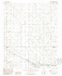
1986 Map of Moriarty North
USGS Topo · Published 1986About this map
Moriarty sits at the southern edge of this high-desert plateau, where the landscape is defined by a rigorous grid of section lines and the seasonal drainage of Bachelor Draw. Surveyed in the early 1980s, the area shows a transition from rural ranching toward local infrastructure, evidenced by the scattered Well locations and a prominent Pipeline traversing the terrain. To the north, the small settlement of Otto anchors the eastern side of the sheet, while an Old Railroad Grade hints at former transportation corridors that once linked these Estancia Valley communities. The presence of a Landing Strip and multiple Substation sites reflects the modernization of the Santa Fe and Torrance County borderlands during this era. Local industry is represented by several Gravel Pit operations, essential for the maintenance of the expanding road network near the Trailer Park and residential outskirts of Moriarty.
Find a feature on this map
13 named features on this map. Tap any name to fly to it.
Don’t see what you’re looking for? This feature index may not catch every label — zoom into the map to look around manually.
Map Details
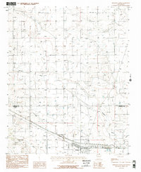
Editions of this 1986 Moriarty North Map
2 editions found
Other maps of this area

1892 · San Pedro
USGS Topo · 1:125,000

1894 · Lamy
USGS Topo · 1:125,000

1917 · Estancia
USGS Topo · 1:125,000

1954 · Chilili
USGS Topo · 1:24,000

1954 · San Pedro
USGS Topo · 1:24,000

1954 · Edgewood
USGS Topo · 1:24,000

1954 · Santa Fe
USGS Topo · 1:250,000

1954 · Fort Sumner
USGS Topo · 1:250,000

1954 · Socorro
USGS Topo · 1:250,000

1956 · Edgewood
USGS Topo · 1:62,500