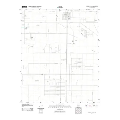
2010 Map of Moriarty South
USGS Topo · Published 2010About this map
Moriarty anchors the northern portion of this High Plains landscape, where the established town grid meets the expanding residential and ranching tracts of Torrance County. The area is defined by its transition from organized municipal structures, such as the Moriarty Post Office and local burial grounds like Mount View Cemetery and Mount Carmel Cemetery, to large-scale ranching operations. Numerous family-named homesteads and properties including Hornsby Ranch, Flowers Ranch, and Mendonca Ranch dot the landscape, illustrating the region's agricultural heritage.
Find a feature on this map
87 named features on this map. Tap any name to fly to it.
Don’t see what you’re looking for? This feature index may not catch every label — zoom into the map to look around manually.
Map Details
Editions of this 2010 Moriarty South Map
This is the sole edition of this map. No revisions or reprints were ever made.
Other maps of this area
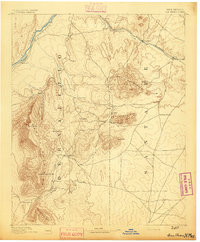
1892 · San Pedro
USGS Topo · 1:125,000
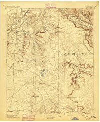
1894 · Lamy
USGS Topo · 1:125,000
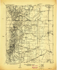
1917 · Estancia
USGS Topo · 1:125,000
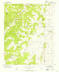
1954 · Chilili
USGS Topo · 1:24,000
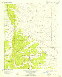
1954 · Edgewood
USGS Topo · 1:24,000
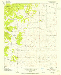
1954 · Milbourn Ranch
USGS Topo · 1:24,000
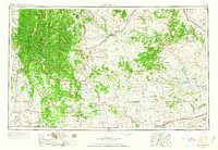
1954 · Santa Fe
USGS Topo · 1:250,000
1954 · Fort Sumner
USGS Topo · 1:250,000
1954 · Socorro
USGS Topo · 1:250,000
1956 · Edgewood
USGS Topo · 1:62,500