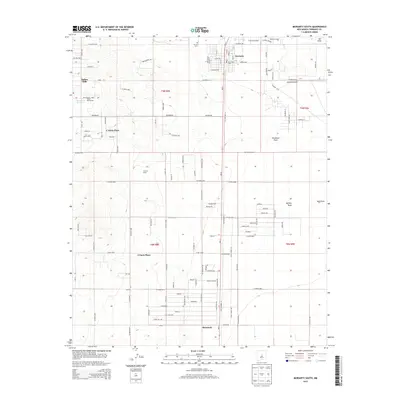
2013 Map of Moriarty South
USGS Topo · Published 2013About this map
Moriarty and the southern reaches of the Estancia Valley are documented here as the area transitions from rural ranchlands to more structured rural residential developments. The northern edge of the map features the core of the town, including its Po and the Moriarty Airport, while further south the landscape is defined by extensive ranching operations and named homesteads like Hornsby Ranch, Flowers Ranch, and Mendonca Ranch. The western terrain rises into the foothills, where communities such as Indian Hills and Indian Ranchettes are situated near the Mescalero Reservoir. Two distinct burial grounds, Mt View Cem and Mt Carmel Cem, sit just outside the town center, serving as critical points for local genealogical study. To the south, the settlement of McIntosh anchors the sheet, connected to the north by Old Highway 41 and surrounded by ephemeral water features like Salt Draw and Buffalo Draw.
Find a feature on this map
120 named features on this map. Tap any name to fly to it.
Don’t see what you’re looking for? This feature index may not catch every label — zoom into the map to look around manually.
Map Details
Editions of this 2013 Moriarty South Map
This is the sole edition of this map. No revisions or reprints were ever made.
Other maps of this area

1892 · San Pedro
USGS Topo · 1:125,000

1894 · Lamy
USGS Topo · 1:125,000

1917 · Estancia
USGS Topo · 1:125,000

1954 · Chilili
USGS Topo · 1:24,000

1954 · Edgewood
USGS Topo · 1:24,000

1954 · Milbourn Ranch
USGS Topo · 1:24,000

1954 · Santa Fe
USGS Topo · 1:250,000

1954 · Fort Sumner
USGS Topo · 1:250,000

1954 · Socorro
USGS Topo · 1:250,000

1956 · Edgewood
USGS Topo · 1:62,500