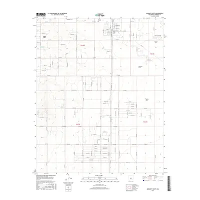
2017 Map of Moriarty South
USGS Topo · Published 2017About this map
Moriarty serves as a focal point at the northern edge of this high-desert landscape, where the southern reaches of the town give way to a structured grid of residential development and ranch roads. The presence of Moriarty Airport and a network of named streets like Howard Cavasos Blvd and Old Hwy 41 indicates a mid-20th-century transition from purely agricultural land to a regional transport and residential hub. To the south, the settlement of Mcintosh marks a secondary cluster of habitation, while the western area near Indian Hills shows a more dispersed settlement pattern rising into the higher terrain.
Find a feature on this map
133 named features on this map. Tap any name to fly to it.
Don’t see what you’re looking for? This feature index may not catch every label — zoom into the map to look around manually.
Map Details
Editions of this 2017 Moriarty South Map
This is the sole edition of this map. No revisions or reprints were ever made.
Other maps of this area

1892 · San Pedro
USGS Topo · 1:125,000

1894 · Lamy
USGS Topo · 1:125,000

1917 · Estancia
USGS Topo · 1:125,000

1954 · Chilili
USGS Topo · 1:24,000

1954 · Edgewood
USGS Topo · 1:24,000

1954 · Milbourn Ranch
USGS Topo · 1:24,000

1954 · Santa Fe
USGS Topo · 1:250,000

1954 · Fort Sumner
USGS Topo · 1:250,000

1954 · Socorro
USGS Topo · 1:250,000

1956 · Edgewood
USGS Topo · 1:62,500