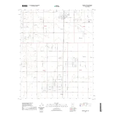
2020 Map of Moriarty South
USGS Topo · Published 2020About this map
Moriarty sits at the northern edge of this high-plains landscape, where the Estancia Valley's grid-based development meets the open drainage systems of the New Mexico desert. The map documents a residential and agricultural transition, anchored by the Moriarty Municipal Airport and the community of McIntosh to the south. Local heritage is preserved at the Mountain View Cem and Mount Carmel Cem, while the hydrologic character of the basin is defined by intermittent features like Woodman Draw, Buffalo Draw, and the Mescalero Reservoir. A dense network of local roads, including the whimsically named Pumpkinpatch Rd and Coyote Loop, illustrates the contemporary parceling of the land within the historic boundaries of t9n r8e and t8n r9e.
Find a feature on this map
139 named features on this map. Tap any name to fly to it.
Don’t see what you’re looking for? This feature index may not catch every label — zoom into the map to look around manually.
Map Details
Editions of this 2020 Moriarty South Map
This is the sole edition of this map. No revisions or reprints were ever made.
Other maps of this area

1892 · San Pedro
USGS Topo · 1:125,000

1894 · Lamy
USGS Topo · 1:125,000

1917 · Estancia
USGS Topo · 1:125,000

1954 · Chilili
USGS Topo · 1:24,000

1954 · Edgewood
USGS Topo · 1:24,000

1954 · Milbourn Ranch
USGS Topo · 1:24,000

1954 · Santa Fe
USGS Topo · 1:250,000

1954 · Fort Sumner
USGS Topo · 1:250,000

1954 · Socorro
USGS Topo · 1:250,000

1956 · Edgewood
USGS Topo · 1:62,500