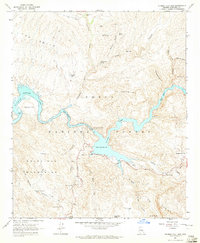
1964 Map of Mormon Flat Dam
USGS Topo · Published 1965About this map
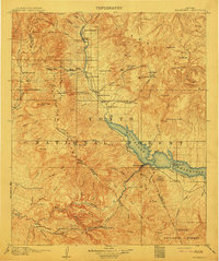
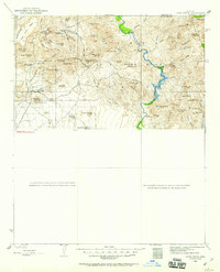
Saguaro Lake and Canyon Lake dominate this desert landscape, created by the impoundment of the Salt River. The Mormon Flat Dam stands as the central engineering feature, regulating the water levels that carve through the surrounding Tonto National Forest. Settlement is sparse, centered on the small outpost of Tortilla Flat and Cottonwood Camp, while the winding Apache Trail provides the primary transit route through the high desert terrain.
Find a feature on this map
47 named features on this map. Tap any name to fly to it.
Don’t see what you’re looking for? This feature index may not catch every label — zoom into the map to look around manually.
Map Details
Editions of this 1964 Mormon Flat Dam Map
4 editions found
Other maps of this area
1900 · Florence
USGS Topo · 1:125,000
1902 · Florence
USGS Topo · 1:125,000
1904 · Desert Well
USGS Topo · 1:62,500
1904 · Ft. McDowell
USGS Topo · 1:62,500
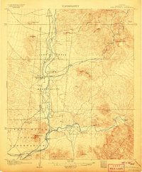
1906 · Ft. McDowell
USGS Topo · 1:62,500
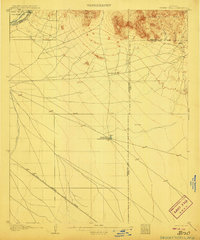
1906 · Desert Well
USGS Topo · 1:62,500
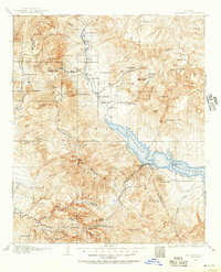
1907 · Roosevelt
USGS Topo · 1:125,000
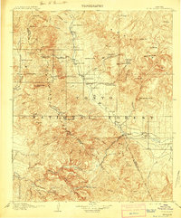
1909 · Four Peaks
USGS Topo · 1:125,000
1912 · Roosevelt
USGS Topo · 1:125,000
1930 · Cave Creek
USGS Topo · 1:125,000