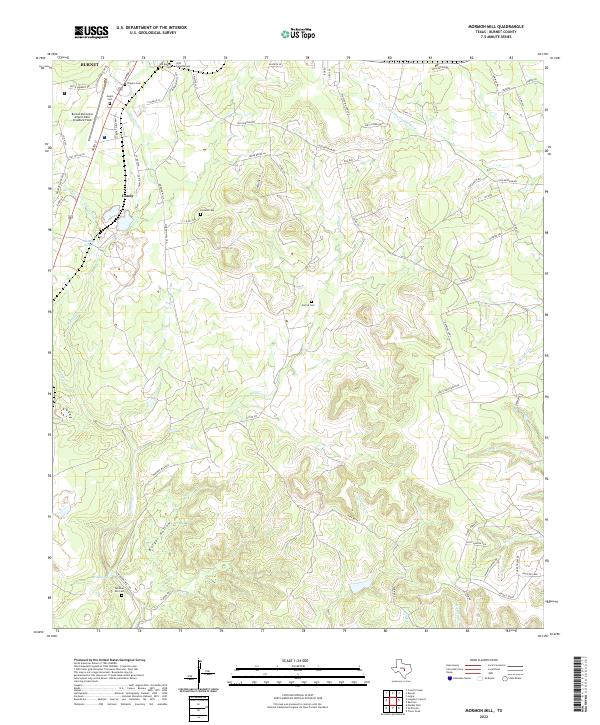
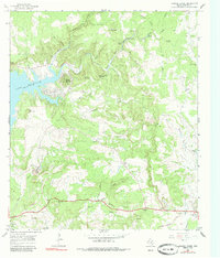
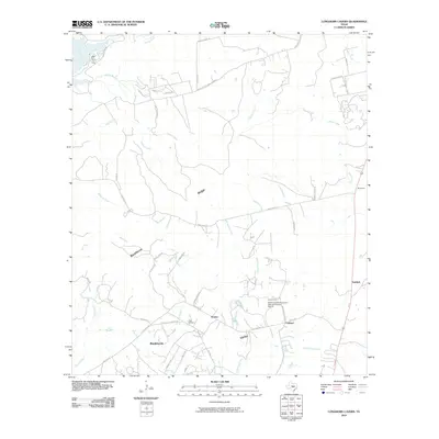
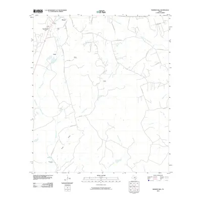
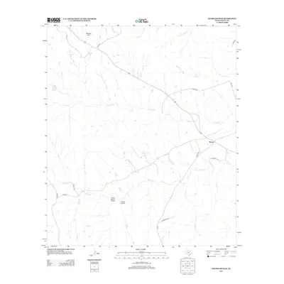
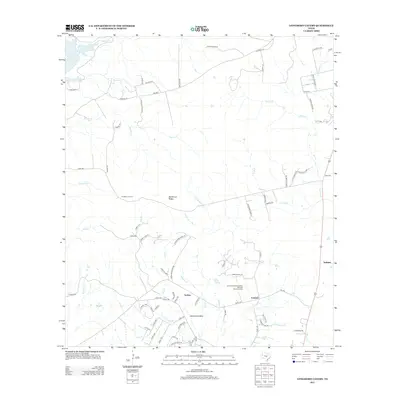
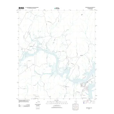
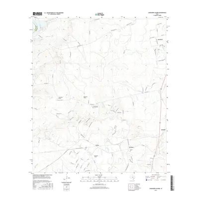
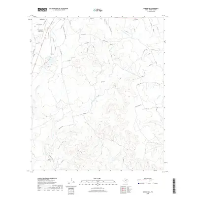
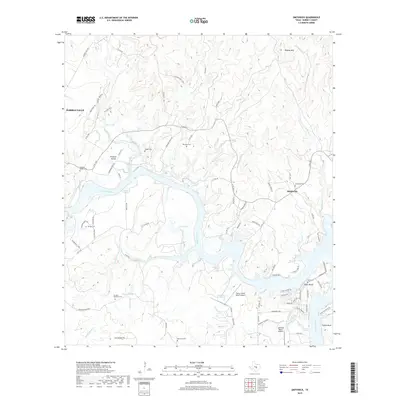
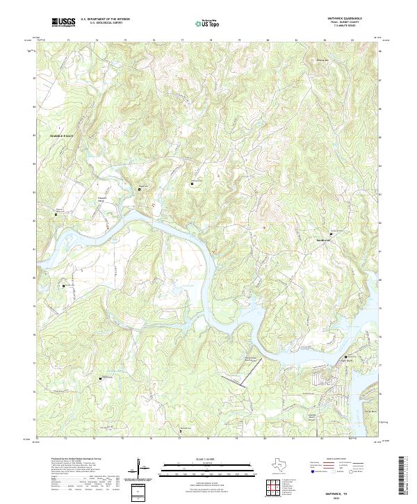
2022 Map of Mormon Mill
USGS Topo · Published 2022About this map
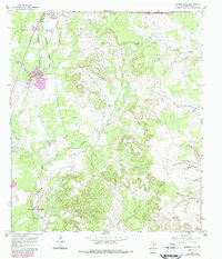
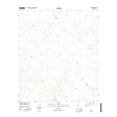
The town of Burnet and its southern surroundings are defined by a network of creeks and legacy family burial sites in this modern topographic record. The landscape is characterized by its transition from the municipal center and the Burnet Municipal Airport Kate Craddock Field into the rolling Texas Hill Country. To the south, the settlement at Gandy and the namesake Morman Mill Cem sit near Mill Pond, signifying the area's early milling history along Hamilton Cr.
Find a feature on this map
81 named features on this map. Tap any name to fly to it.
Don’t see what you’re looking for? This feature index may not catch every label — zoom into the map to look around manually.
Map Details
Editions of this 2022 Mormon Mill Map
This is the sole edition of this map. No revisions or reprints were ever made.
Historical Maps of Burnet Through Time
55 maps found
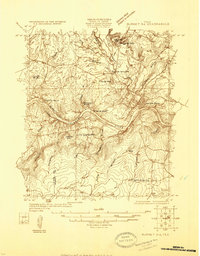
1925 Burnet 3-d
Burnet County, TX
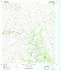
1964 Mahomet
Burnet County, TX
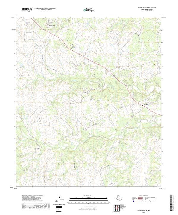
1967 Bachelor Peak
Burnet County, TX
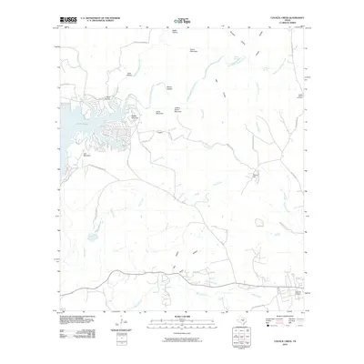
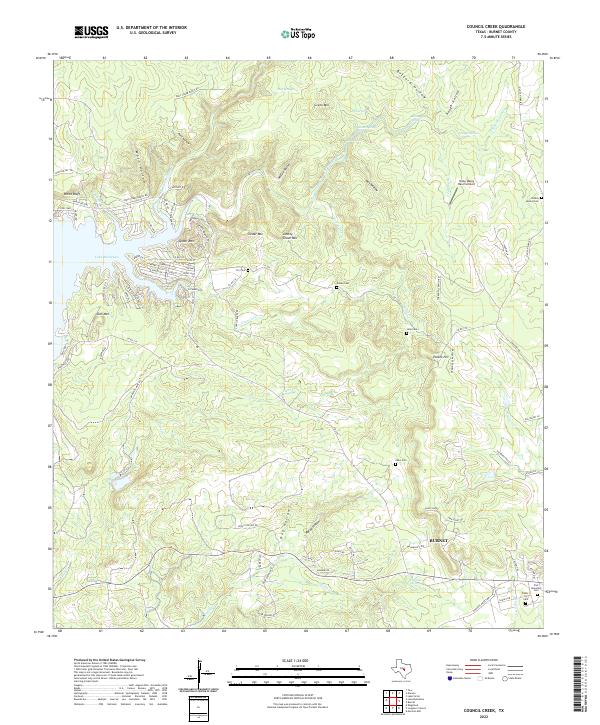
1967 Council Creek
Burnet County, TX
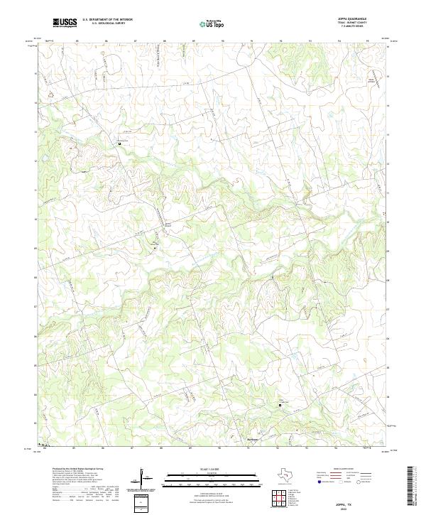
1967 Joppa
Burnet County, TX
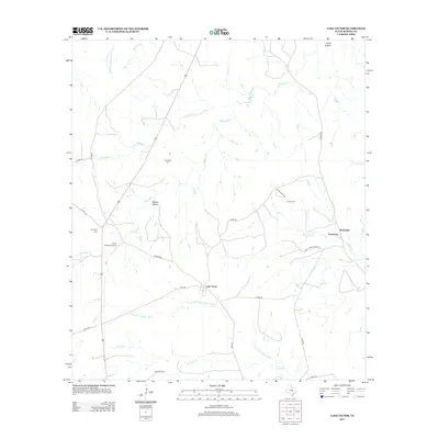
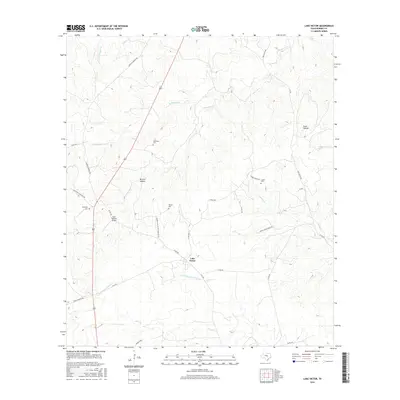
1967 Lake Victor
Burnet County, TX
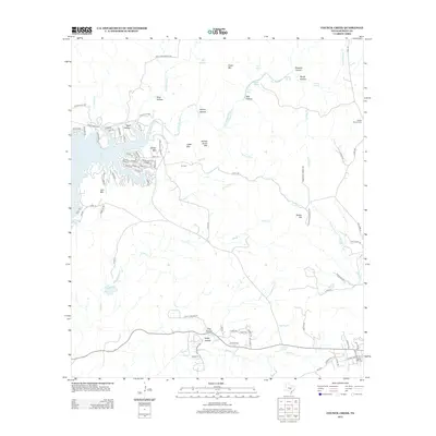
1967 Longhorn Cavern
Burnet County, TX
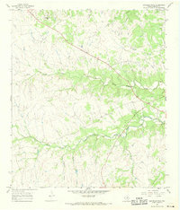
1967 Mormon Mill
Burnet County, TX
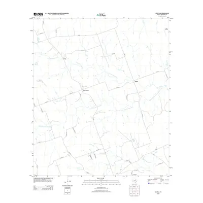
1967 Naruna
Burnet County, TX
1967 Smithwick
Burnet County, TX
2010 Bachelor Peak
Burnet County, TX
2010 Council Creek
Burnet County, TX
2010 Joppa
Burnet County, TX
2010 Lake Victor
Burnet County, TX
2010 Longhorn Cavern
Burnet County, TX
2010 Mahomet
Burnet County, TX
2010 Mormon Mill
Burnet County, TX
2010 Naruna
Burnet County, TX
2010 Smithwick
Burnet County, TX
2012 Bachelor Peak
Burnet County, TX
2012 Council Creek
Burnet County, TX
2012 Joppa
Burnet County, TX
2012 Lake Victor
Burnet County, TX
2012 Longhorn Cavern
Burnet County, TX
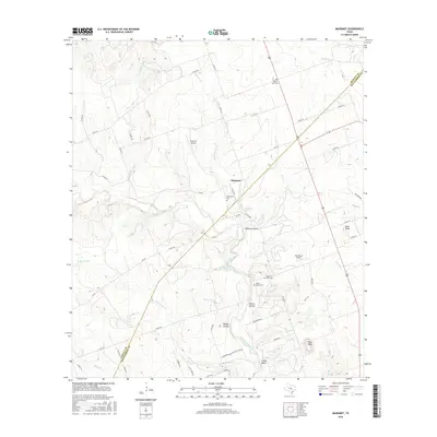
2012 Mahomet
Burnet County, TX
2012 Mormon Mill
Burnet County, TX
2012 Naruna
Burnet County, TX
2012 Smithwick
Burnet County, TX
2016 Bachelor Peak
Burnet County, TX
2016 Council Creek
Burnet County, TX
2016 Joppa
Burnet County, TX
2016 Lake Victor
Burnet County, TX
2016 Longhorn Cavern
Burnet County, TX
2016 Mahomet
Burnet County, TX
2016 Mormon Mill
Burnet County, TX
2016 Naruna
Burnet County, TX
2016 Smithwick
Burnet County, TX
2019 Bachelor Peak
Burnet County, TX
2019 Council Creek
Burnet County, TX

2019 Joppa
Burnet County, TX

2019 Lake Victor
Burnet County, TX
2019 Longhorn Cavern
Burnet County, TX
2019 Mahomet
Burnet County, TX
2019 Mormon Mill
Burnet County, TX
2019 Naruna
Burnet County, TX
2019 Smithwick
Burnet County, TX
2022 Bachelor Peak
Burnet County, TX
2022 Council Creek
Burnet County, TX
2022 Joppa
Burnet County, TX
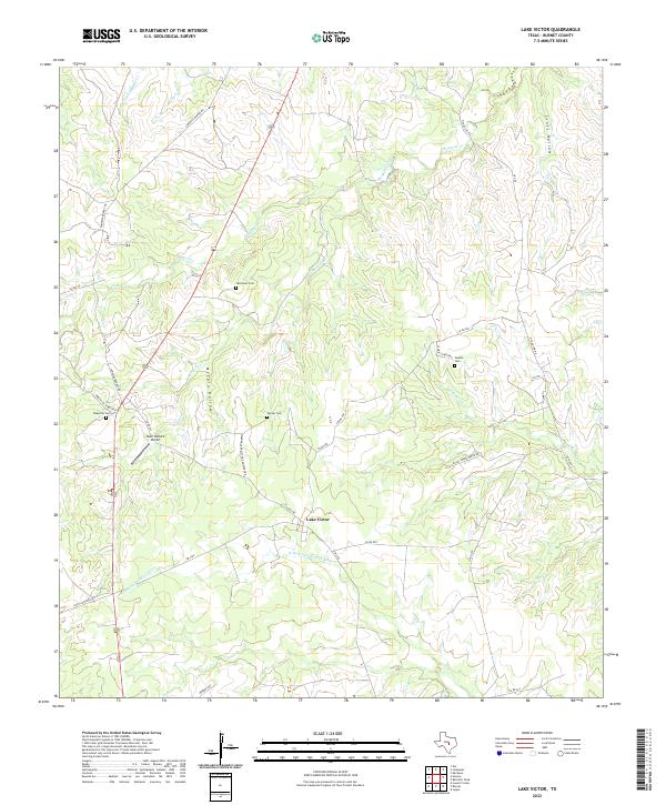
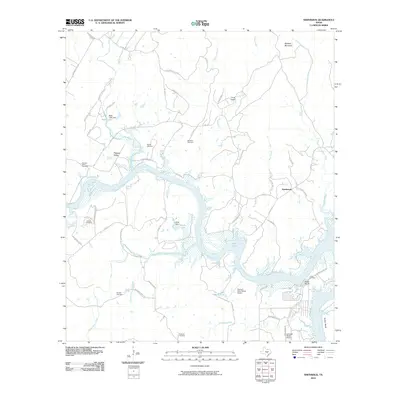
2022 Lake Victor
Burnet County, TX
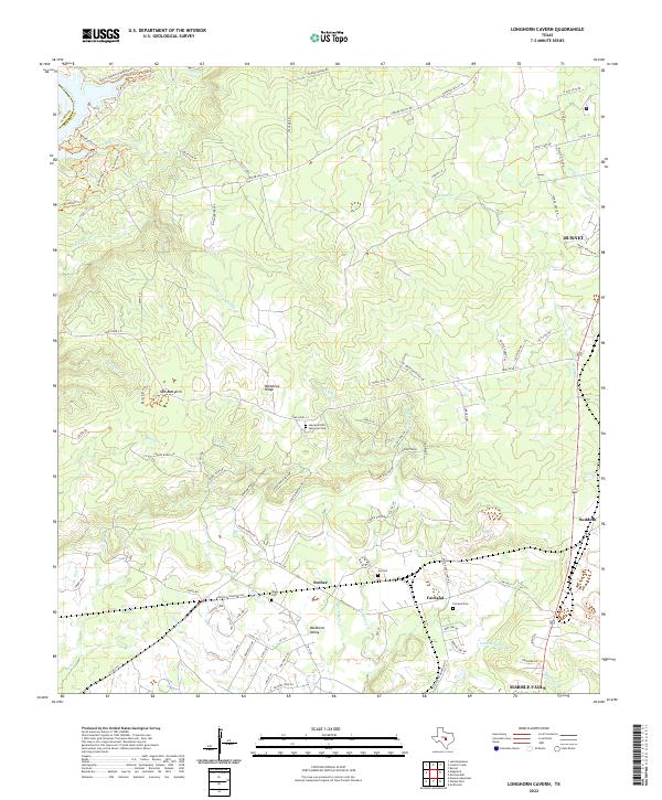
2022 Longhorn Cavern
Burnet County, TX
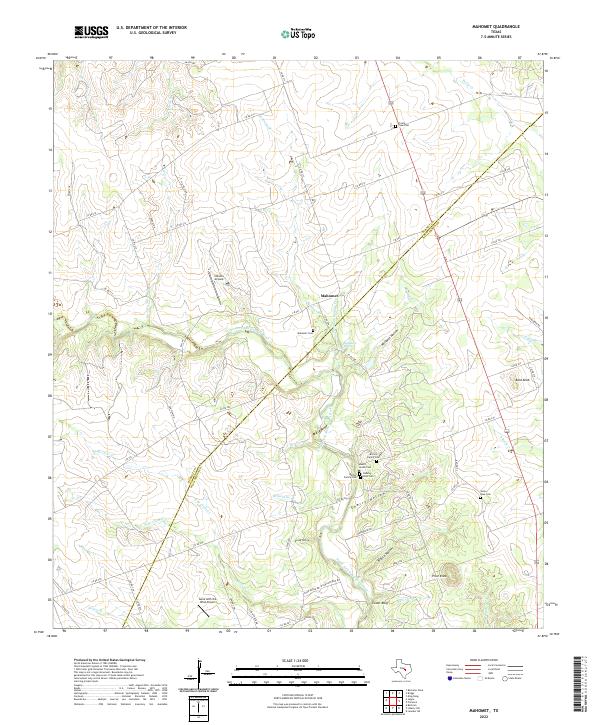
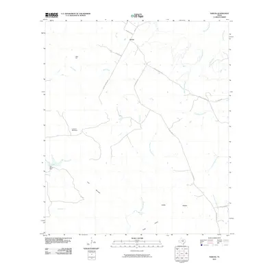
2022 Mahomet
Burnet County, TX
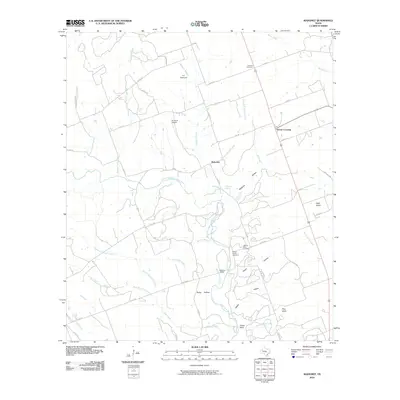
2022 Mormon Mill
Burnet County, TX
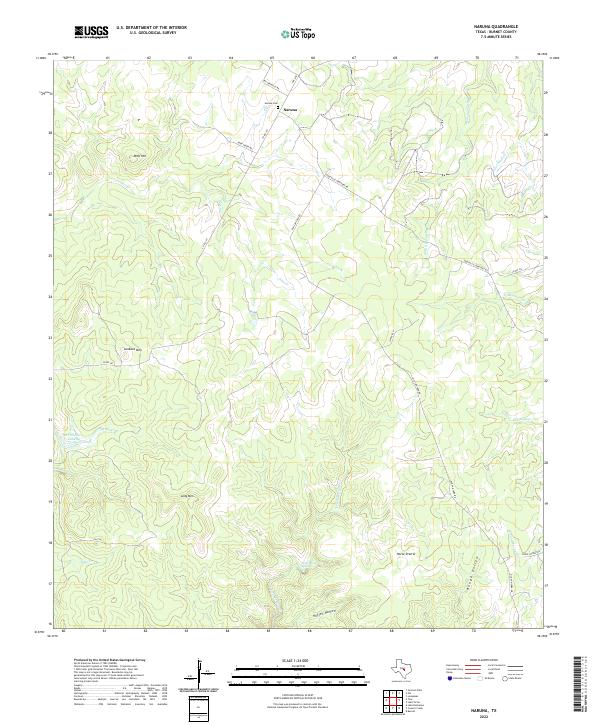
2022 Naruna
Burnet County, TX
2022 Smithwick
Burnet County, TX