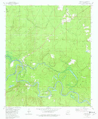
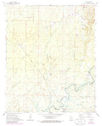
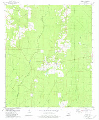
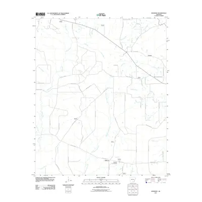
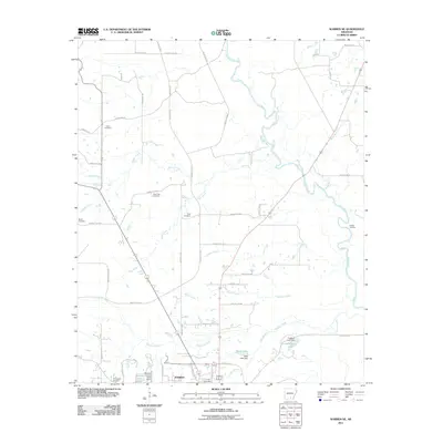
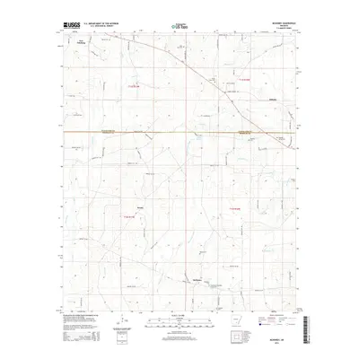
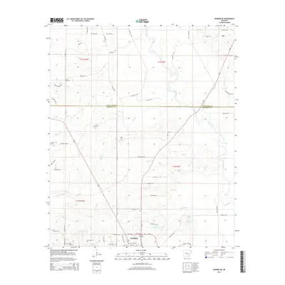
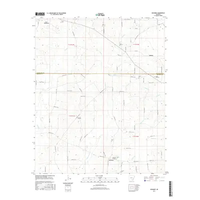
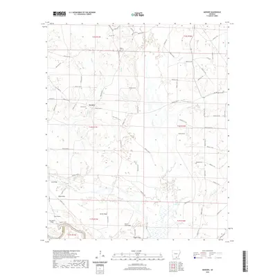
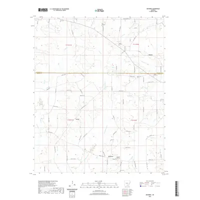
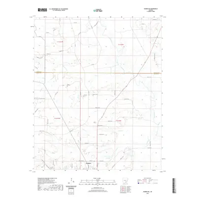
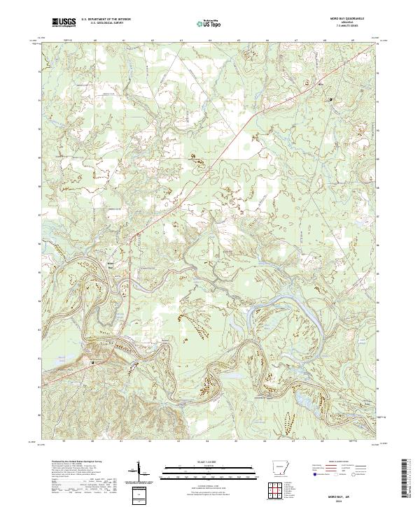
1981 Map of Moro Bay
USGS Topo · Published 1981About this map
The Ouachita River defines the landscape of this southern Arkansas river bottom, winding through a complex network of wetlands and sloughs. Near the confluence with Moro Creek, the established Moro Bay State Park and the small settlement of Moro Bay provide a focal point for activity along the water, where a ferry and boat ramp once connected travelers across the river. The map documents the mid-century industrial presence of the Careyville Landing Oil Field and the River Bend Oil Field, highlighting the intersection of natural conservation and resource extraction.
Find a feature on this map
46 named features on this map. Tap any name to fly to it.
Don’t see what you’re looking for? This feature index may not catch every label — zoom into the map to look around manually.
Map Details
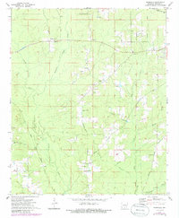
Editions of this 1981 Moro Bay Map
This is the sole edition of this map. No revisions or reprints were ever made.
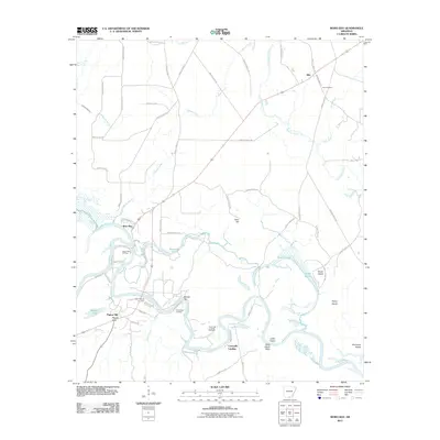
Historical Maps of Hilo Through Time
51 maps found

1934 Ingalls
Bradley County, AR
1937 Ingalls
Bradley County, AR

1939 Ingalls
Bradley County, AR
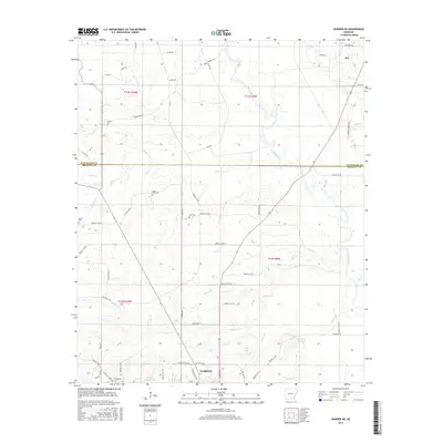
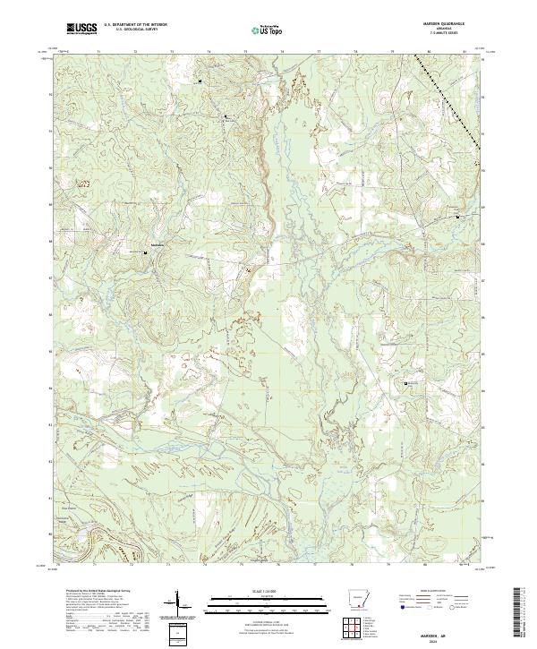
1971 Marsden
Bradley County, AR
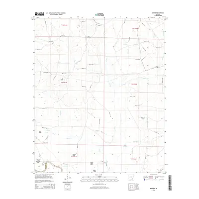
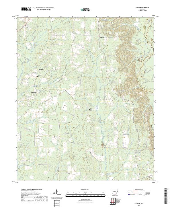
1971 Sumpter
Bradley County, AR
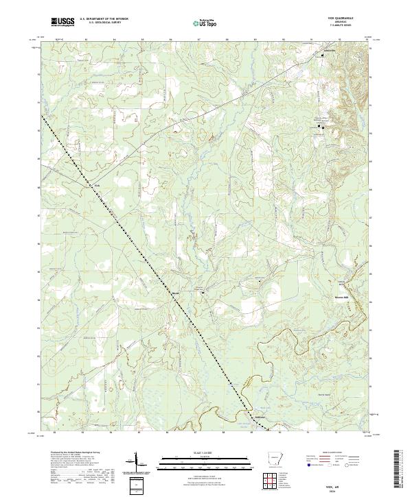
1971 Vick
Bradley County, AR
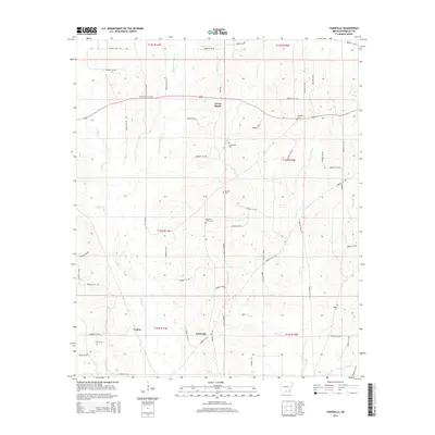
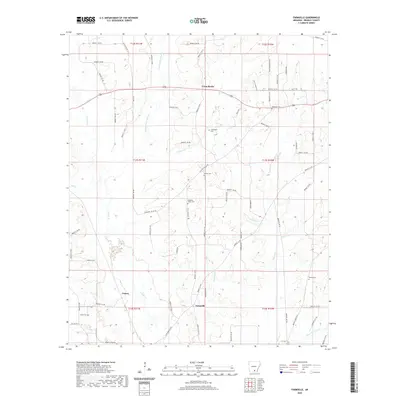
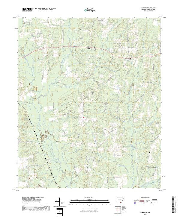
1973 Farmville
Bradley County, AR
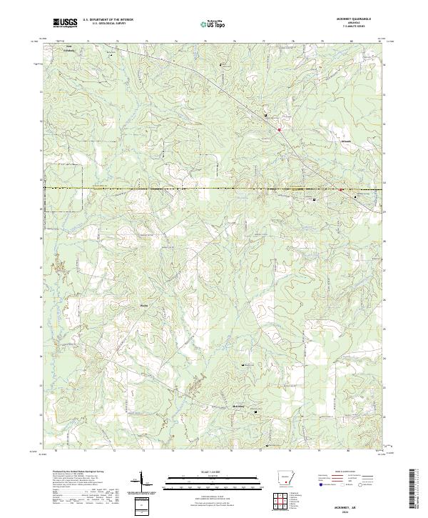
1973 Mc Kinney
Bradley County, AR
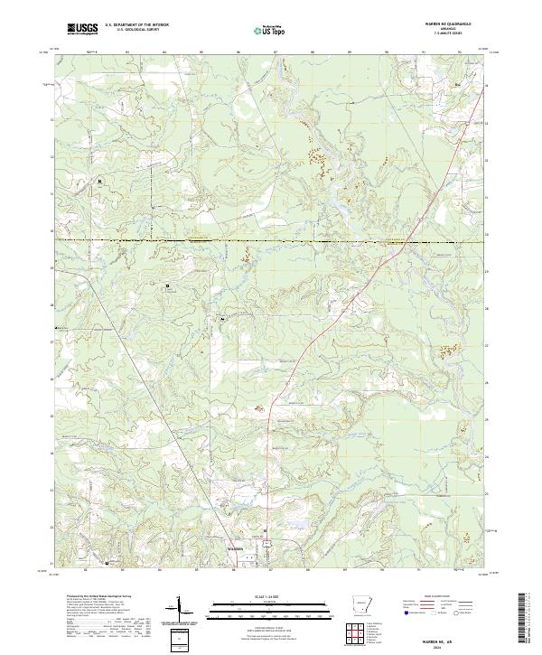
1973 Warren NE
Bradley County, AR
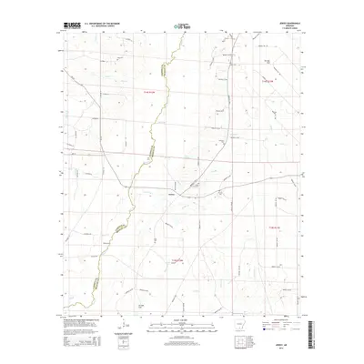
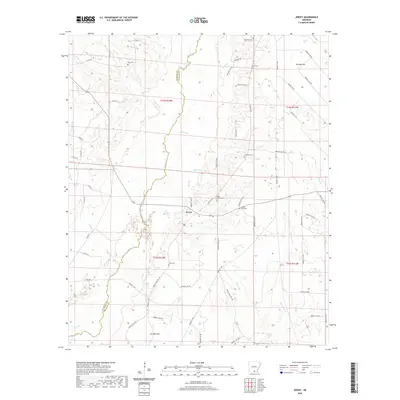
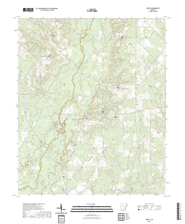
1981 Jersey
Bradley County, AR
1981 Moro Bay
Bradley County, AR
2011 Farmville
Bradley County, AR
2011 Jersey
Bradley County, AR
2011 Marsden
Bradley County, AR
2011 McKinney
Bradley County, AR
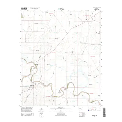
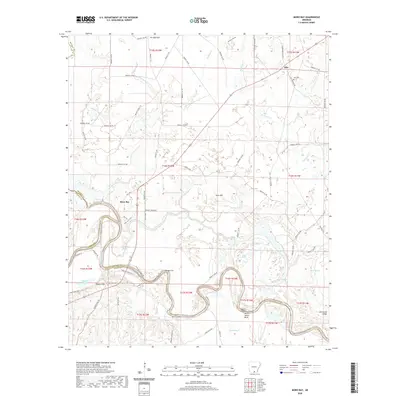
2011 Moro Bay
Bradley County, AR
2011 Sumpter
Bradley County, AR
2011 Vick
Bradley County, AR
2011 Warren NE
Bradley County, AR
2014 Farmville
Bradley County, AR
2014 Jersey
Bradley County, AR
2014 Marsden
Bradley County, AR
2014 McKinney
Bradley County, AR
2014 Moro Bay
Bradley County, AR
2014 Sumpter
Bradley County, AR
2014 Vick
Bradley County, AR
2014 Warren NE
Bradley County, AR
2017 Farmville
Bradley County, AR
2017 Jersey
Bradley County, AR
2017 Marsden
Bradley County, AR
2017 McKinney
Bradley County, AR
2017 Moro Bay
Bradley County, AR
2017 Sumpter
Bradley County, AR
2017 Vick
Bradley County, AR
2017 Warren NE
Bradley County, AR
2020 Farmville
Bradley County, AR
2020 Jersey
Bradley County, AR
2020 Marsden
Bradley County, AR
2020 McKinney
Bradley County, AR
2020 Moro Bay
Bradley County, AR
2020 Sumpter
Bradley County, AR
2020 Vick
Bradley County, AR
2020 Warren NE
Bradley County, AR
2024 Farmville
Bradley County, AR
2024 Jersey
Bradley County, AR
2024 Marsden
Bradley County, AR
2024 McKinney
Bradley County, AR
2024 Moro Bay
Bradley County, AR
2024 Sumpter
Bradley County, AR
2024 Vick
Bradley County, AR
2024 Warren NE
Bradley County, AR