
1894 Map of Morrillton
USGS Topo · Published 1894About this map
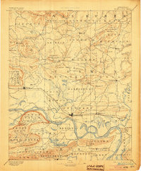
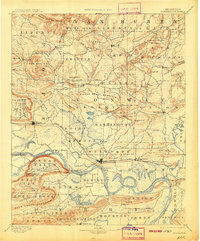
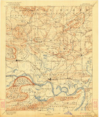
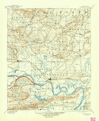
The Arkansas River serves as the dominant artery of this late-nineteenth-century landscape, flanked by the critical transportation corridor of the Little Rock & Fort Smith R. R. On its northern bank, the growing railroad towns of Morrillton, Atkins, and Plummerville anchor the local economy. The terrain transitions from these river lowlands into a complex series of ridges and knobs, most notably the high plateau of Petit Jean and the striking height of Cedar Falls Mt. with its marked falls.
Find a feature on this map
108 named features on this map. Tap any name to fly to it.
Don’t see what you’re looking for? This feature index may not catch every label — zoom into the map to look around manually.
Map Details
Editions of this 1894 Morrillton Map
5 editions found
Other maps of this area

1879 · Washington
USGS Topo · 1:62,500

1887 · Smyrna
USGS Topo · 1:62,500

1888 · Dardanelle #4
USGS Topo · 1:62,500

1888 · Dardanelle #1
USGS Topo · 1:62,500

1889 · Morrilton No. 3
USGS Topo · 1:62,500

1889 · Treat
USGS Topo · 1:62,500

1889 · Marshall #3
USGS Topo · 1:62,500

1890 · Benton
USGS Topo · 1:125,000

1890 · Hot Springs
USGS Topo · 1:125,000

1890 · Dardanelle
USGS Topo · 1:125,000