
1894 Map of Morrillton
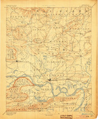
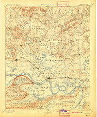
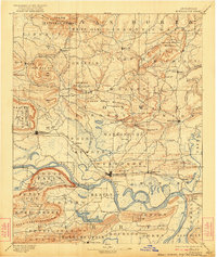
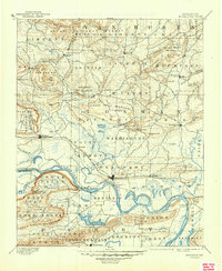
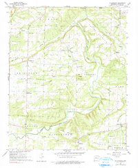
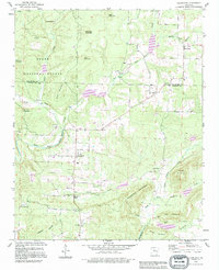
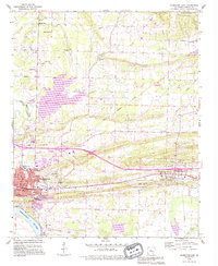
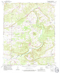
USGS Topo · Published 1894This historical map portrays the area of Morrillton in 1894, primarily covering Conway as well as portions of Van Buren County, Perry County, Faulkner County, Yell County, and Pope County. Featuring a scale of 1:125000, this map provides a highly detailed snapshot of the terrain, roads, buildings, counties, and historical landmarks in the Morrillton region at the time. Published in 1894, it is one of 5 known editions of this map due to revisions or reprints.
Find a feature on this map
108 named features on this map. Tap any name to fly to it.
Don’t see what you’re looking for? This feature index may not catch every label — zoom into the map to look around manually.
Map Details
Editions of this 1894 Morrillton Map
5 editions found
Historical Maps of Ada Through Time
12 maps found

1889 Morrilton No. 3
Conway County, AR

1892 Morrillton
Conway County, AR
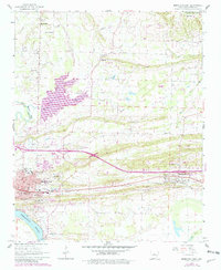
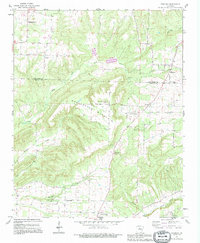
1961 Morrilton East
Conway County, AR
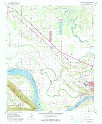
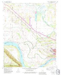
1961 Morrilton West
Conway County, AR
1962 Cleveland
Conway County, AR
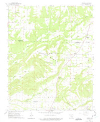
1962 Formosa
Conway County, AR
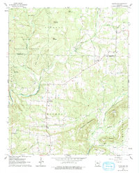
1962 Solgohachia
Conway County, AR
1990 Cleveland
Conway County, AR
1990 Morrilton East
Conway County, AR
1990 Solgohachia
Conway County, AR
1991 Formosa
Conway County, AR
1991 Morrilton West
Conway County, AR