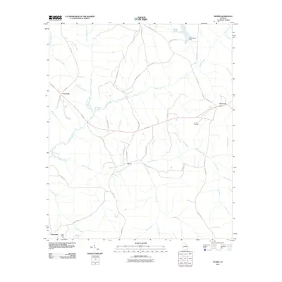
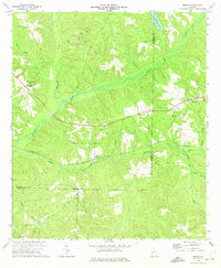
2011 Map of Morris
USGS Topo · Published 2011About this map
Morris stands as the central hub of this agricultural landscape in Quitman County, where a network of county roads and highways connects small rural settlements. The topography is defined by an intricate drainage system including Pataula Creek and Holanna Creek, which weave through the terrain. To the northeast, Springvale serves as another focal point for local residents, anchored by the Springvale Cemetery.
Find a feature on this map
44 named features on this map. Tap any name to fly to it.
Don’t see what you’re looking for? This feature index may not catch every label — zoom into the map to look around manually.
Map Details
Editions of this 2011 Morris Map
This is the sole edition of this map. No revisions or reprints were ever made.
Other maps of this area

1953 · Dothan
USGS Topo · 1:250,000

1954 · Dothan
USGS Topo · 1:250,000

1955 · Dothan
USGS Topo · 1:250,000

1967 · Hatcher
USGS Topo · 1:24,000

1967 · Georgetown
USGS Topo · 1:24,000

1969 · Fort Gaines NE
USGS Topo · 1:24,000
1972 · Sanford
USGS Topo · 1:24,000
1972 · County Line
USGS Topo · 1:24,000
1972 · Cuthbert
USGS Topo · 1:24,000
1973 · Morris
USGS Topo · 1:24,000